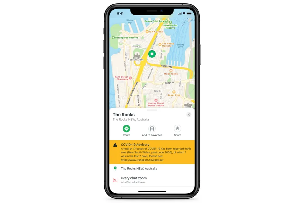
Inrix mobile app provides real time travel , route information

The new Inrix Traffic mobile app uses machine learning to predict and personalise the user’s routes, destinations and alerts, adding favourite places automatically. Based on learned activities, it creates a daily, driver-specific itinerary of anticipated trips, as well as frequent and preferred routes. By accessing calendar information on a mobile device, the app also adds events with addresses to the daily driving itinerary.
July 1, 2016 Read time: 1 min
Mobile app takes the guesswork out of navigation

The new 163 Inrix Traffic mobile app uses machine learning to predict and personalise the user’s routes, destinations and alerts, adding favourite places automatically. Based on learned activities, it creates a daily, driver-specific itinerary of anticipated trips, as well as frequent and preferred routes.

By accessing calendar information on a mobile device, the app also adds events with addresses to the daily driving itinerary.

Inrix Traffic uses crowd-sourced network of over 275 million connected cars and devices to offer accurate map and real-time information; it proactively monitors road conditions to alert drivers of ideal departure times, changes to arrival times and optimal routes to frequent or scheduled destinations based on real-time traffic.

Available in eight languages in 16 countries across North America and Europe, with additional countries coming soon, Inrix Traffic is available worldwide now in the Apple App Store and Google Play.

For more information on companies in this article

Related Content

  • Edinburgh launches live transport updates in Google Maps
    January 11, 2016
    Passengers of Lothian Buses and Edinburgh Trams will be the first in Scotland to access real-time service information on Google Maps thanks to a partnership between Transport for Edinburgh and Google. Google Maps on desktop and mobile now uses real-time predictions to deliver more accurate directions between any two places in Edinburgh, taking into account delays and diversions, with live updates from every bus and tram in the fleet. Google Maps has an overview of where all buses and trams are on the
  • SkedGo adds Covid alert to MaaS app
    May 12, 2020
    SkedGo’s feature assesses crowd levels to see which routes have fewer people
  • USDOT video shows benefits of connected vehicles
    December 23, 2014
    The US Department of Transportation (USDOT) has also developed an animated video to illustrate the concept of connected vehicles and help the public understand its potential benefits. Connected vehicle technology enables cars to wirelessly communicate with each other, roadside infrastructure, and even personal mobile devices, sharing valuable information that could save lives, reduce congestion, and lessen the impact of transportation on our environment.