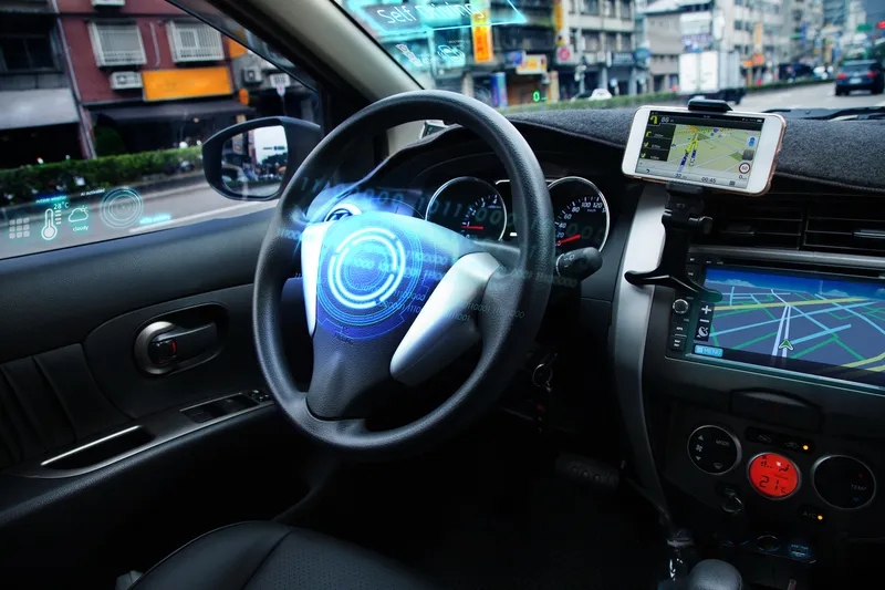
Inrix mobile app provides real time travel , route information

The new Inrix Traffic mobile app uses machine learning to predict and personalise the user’s routes, destinations and alerts, adding favourite places automatically. Based on learned activities, it creates a daily, driver-specific itinerary of anticipated trips, as well as frequent and preferred routes. By accessing calendar information on a mobile device, the app also adds events with addresses to the daily driving itinerary.
July 1, 2016 Read time: 1 min
Mobile app takes the guesswork out of navigation

The new 163 Inrix Traffic mobile app uses machine learning to predict and personalise the user’s routes, destinations and alerts, adding favourite places automatically. Based on learned activities, it creates a daily, driver-specific itinerary of anticipated trips, as well as frequent and preferred routes.

By accessing calendar information on a mobile device, the app also adds events with addresses to the daily driving itinerary.

Inrix Traffic uses crowd-sourced network of over 275 million connected cars and devices to offer accurate map and real-time information; it proactively monitors road conditions to alert drivers of ideal departure times, changes to arrival times and optimal routes to frequent or scheduled destinations based on real-time traffic.

Available in eight languages in 16 countries across North America and Europe, with additional countries coming soon, Inrix Traffic is available worldwide now in the Apple App Store and Google Play.

For more information on companies in this article

Related Content

  • CES 2023: for more info see Here
    January 6, 2023
    ADAS, mapping and road safety alerts are among the tech firm's launches in Las Vegas
  • Smoothing out city freight movements
    May 28, 2014
    David Crawford welcomes a national first. Urban freight movements, while commercially and socially vital, are a growing logistical headache for planners and people alike. Figures from France’s Lyon Laboratory of Transport Economics indicate that goods transport in major urban areas accounts for: 20% of traffic; 35% of CO2 emissions made by all urban trips; and 50% of the diesel used; while final km delivery runs account for 20% of the total cost of the transport chain.
  • Smartphone - the next technology for charging and tolling?
    January 25, 2012
    With all the debates over the most suitable future technology or technologies for charging and tolling, is it not time for the industry to look at what the rest of ITS is doing and bring a rank outsider - the smart phone - closer into the fold? By Jack Opiola, D'Artagnan Consulting LLC
  • Growing use of video monitoring in traffic management
    February 2, 2012
    The county-wide expansion of CCTV coverage in Florida Department of Transportation's District Four is detailed by Citilog's Eric Toffin