Free turn-by-turn navigation

Navmii, a publisher of navigation and location apps, has launched its new community-based navigation product, NavFree, a free, fully functioning GPS/satellite navigation app for iPhone and iPad. Currently available for the UK & Republic of Ireland from the iTunes store, the company says it will quickly be rolled out across Europe and the USA. A version of Navfree for Android will also be released shortly.
February 3, 2012 Read time: 1 min
2196 Navmii, a publisher of navigation and location apps, has launched its new community-based navigation product, NavFree, a free, fully functioning GPS/satellite navigation app for iPhone and iPad. Currently available for the UK & Republic of Ireland from the iTunes store, the company says it will quickly be rolled out across Europe and the USA. A version of Navfree for Android will also be released shortly.

NavFree users can search for an address by postcode, city, street or house and are instantly routed there with full voice directions. It will re-route if a user takes a wrong turn and provides information on the journey distance, estimated time of arrival, points of interest and live Google search for local facilities. Importantly, mapping is provided by OpenStreetMap and is stored on the mobile device so there are no mobile data charges for users.

For more information on companies in this article

Related Content

  • GMV develops app to inform travellers of bus status in real time
    November 22, 2017
    GMV has developed the Toledo Bus app to provide users with real time information of the City’s urban transport network. It is part of a plan carried out by Unauto in collaboration with GMV to modernize the public bus fleet. Users can locate the different lines and stops around their current location or any others that are manually entered from the main window of the app after enabling the geolocation permission of the terminal. The 'how to get there' feature reveals the shortest route between two locations
  • Tags or communication based toll payment systems?
    January 20, 2012
    Midland Expressway Ltd's Tom Fanning discusses deployment of Near Field Communicationbased payment on the M6 Toll facility The M6 Toll's introduction from early next year of Near Field Communication (NFC) is a pragmatic response to the relative scarcity of tolled facilities and the concomitant low levels of tag take-up in the UK, according to the road's operator, Midland Expressway Ltd (MEL). Nevertheless, Dedicated Short-Range Communication (DSRC)-based tags operating at 5.8GHz are still a key part of the
  • StreetLight Data provides free VMT metrics
    April 17, 2020
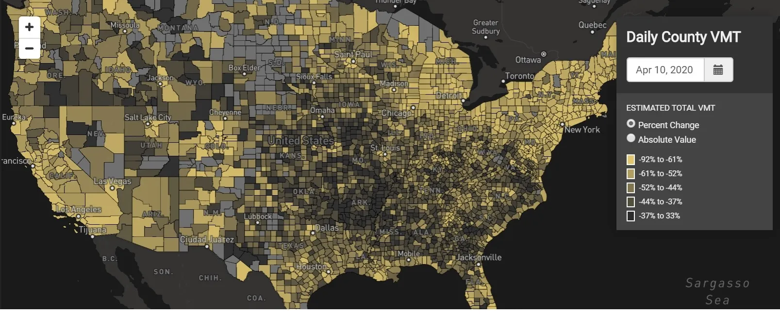
    StreetLight Data is offering vehicle miles travelled (VMT) data for US transit agencies to monitor transport networks and understand travel patterns during the Covid-19 pandemic.
  • The challenging European road to carbon neutrality and the need for distance-based charging
    November 1, 2023
    Fuel taxes are falling and EVs have the potential to create social equity issues. The answer may lie in expanding the use of technology which has successfully been used for two decades with trucks