Free turn-by-turn navigation

Navmii, a publisher of navigation and location apps, has launched its new community-based navigation product, NavFree, a free, fully functioning GPS/satellite navigation app for iPhone and iPad. Currently available for the UK & Republic of Ireland from the iTunes store, the company says it will quickly be rolled out across Europe and the USA. A version of Navfree for Android will also be released shortly.
February 3, 2012 Read time: 1 min
2196 Navmii, a publisher of navigation and location apps, has launched its new community-based navigation product, NavFree, a free, fully functioning GPS/satellite navigation app for iPhone and iPad. Currently available for the UK & Republic of Ireland from the iTunes store, the company says it will quickly be rolled out across Europe and the USA. A version of Navfree for Android will also be released shortly.

NavFree users can search for an address by postcode, city, street or house and are instantly routed there with full voice directions. It will re-route if a user takes a wrong turn and provides information on the journey distance, estimated time of arrival, points of interest and live Google search for local facilities. Importantly, mapping is provided by OpenStreetMap and is stored on the mobile device so there are no mobile data charges for users.

For more information on companies in this article

Related Content

  • Global toll revenues $8.5bn while technology ‘battles’ continue
    April 9, 2014
    ABI Research’s Dominique Bonte talks to Jason Barnes about trends in tolling and how a wider appreciation of technology options is sorely needed. Global Electronic Toll Collection (ETC) solution revenues will grow to $8.5bn by 2018, with ETC becoming a main source of funding for both Intelligent Transport Systems (ITS) and Vehicle-to-X (V2X) cooperative infrastructures, according to a new report from ABI Research (Chart 1). But, says the report’s author, ABI Research vice president and practice director Dom
  • EasyPark launches Find & Pay predictive parking technology
    August 22, 2017
    Find & Pay from EasyPark uses big data, predictive analytics and machine learning to cut (by up to 50%) the time taken to find parking in congested cities. Find & Pay combines transaction data with crowd-sourced location information from users and Internet of Things (IoT) devices to create a parking probability map for each city block at any given hour of the day. With this information it provides users with a route to their destination which passes along streets with the highest probability of parking avai
  • PTV reveals next year's models
    October 17, 2022
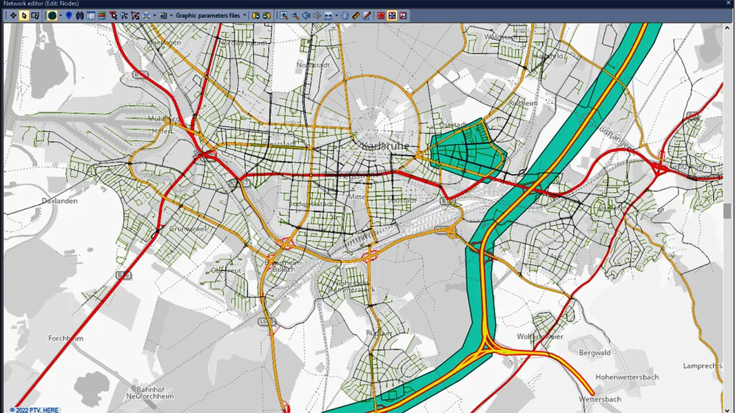
    2023 release sees upgrades to transportation modelling and multimodal simulation software
  • Bird integrates scooters into Google Maps
    August 27, 2021
    Google Maps will direct users choosing Bird vehicles to micromobility firm's app