Web-based hurricane evacuation map

Houston TranStar has unveiled a new interactive hurricane evacuation web map for the Houston-Galveston region of Texas, ahead of this year’s hurricane season which begins on 1 June.
January 31, 2012 Read time: 1 min
61 Houston Transtar has unveiled a new interactive hurricane evacuation web map for the Houston-Galveston region of Texas, ahead of this year’s hurricane season which begins on 1 June.

The real-time Web-based Evacuation Status Map creates an organised, efficient departure process for the region’s residents. It will be used by emergency management officials in the region, particularly law enforcement, emergency medical services and other emergency responders, to stay aware of traffic patterns, weather and other conditions, and plan and execute evacuations and post-hurricane re-entry.

The real-time evacuation map has already been recognised with an 560 ITS America Smart Solution Spotlight award.

For more information on companies in this article

Related Content

  • Cellular-based probe system delivers real time traffic data
    October 7, 2013
    Toll and traffic management solutions provider IBI Group and Cellint Traffic Solutions, a provider of real-time road traffic information based on cellular data have successfully completed the data validation phase of the regional traffic data system (RTDS) project in Vancouver. The project aims to collect, disseminate and archive real time traffic flow information for the road network in Metro Vancouver and display real time traffic flow and travel time information on regional ATIS.
  • Public transport operators implement passenger safety systems
    December 4, 2012
    Operators of public transport systems are arming themselves with sophisticated systems of technology to ward off terrorism threats to passenger safety. David Crawford reports. City transportation authorities worldwide are looking more keenly than ever for mass transit solutions to overcome traffic congestion and manage commuter flows. As they do so, concerns over passenger security are driving development of new technologies for terrorist incident detection, response and emergency passenger evacuation. The
  • Aeye has eyes on the lidar prize
    September 20, 2022
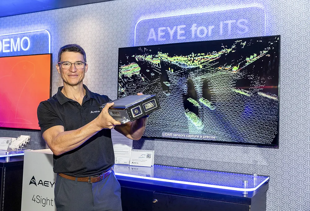
    AEye and its system integrator partners are showcasing the unrivalled flexibility of software-configurable Lidar to support any ITS application and improved 3D perception. Demonstrations include long- and short-range detection capabilities for automated tolling, incident detection, pedestrian traffic flow and smart intersection safety, powered by AEye’s 4Sight perception solution.
  • Sensor solutions cuts maintenance and emissions
    December 8, 2014
    The new raft of sensor technology can provide cost savings as well as additional functionality, as David Crawford discovers. Austria’s third-largest city, Linz, with a population of around 200,000, is recording substantial savings in its urban tram network within 18 months of introducing a new, high-technology approach to its public transport management. Tram, bus and trolleybus operator Linz Linien forms part of city utilities management company Linz AG, which has been carrying out a wide-ranging Smart Cit