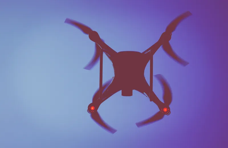
Equipped with an on board u-blox GPS satellite receiver module, a microdrone from German light-weight vertical take off and landing vehicles (VTOLs) manufacturer, microdrones, has successfully completed a high-precision aerial journey over the Alps from Switzerland towards Italy. Precise GPS coordinates and elevation were crucial for navigating obstacles and completing the flight in punishing weather conditions. Carrying a high-resolution video camera, the autonomous microdrone completed 18 pre-programmed
July 2, 2013
Read time: 2 mins
Equipped with an on board 602 U-Blox GPS satellite receiver module, a microdrone from German light-weight vertical take off and landing vehicles (VTOLs) manufacturer, microdrones, has successfully completed a high-precision aerial journey over the Alps from Switzerland towards Italy.
Precise GPS coordinates and elevation were crucial for navigating obstacles and completing the flight in punishing weather conditions. Carrying a high-resolution video camera, the autonomous microdrone completed 18 pre-programmed flight segments, mapping designated landmarks along the way.
“This successful journey of our microdrone demonstrates the robustness, reliability, and versatility of our autonomous drone technology which is being increasingly used for aerial mapping, surveying, search and rescue, security, utilities inspection, and aerial photography.” said Sven Juerss, microdrones CEO, This autonomous flight would not have been possible without the robust, ultra-precise, real-time satellite positioning technology from u blox.”
“Fully automated devices are increasingly used to do tasks that are too costly and dangerous for human operators,” said Herbert Blaser, VP Business Marketing at u-blox, “this is an application that exploits all the features of our satellite navigation modules; fast, accurate-fix, low-power consumption and reliable operation in extreme environmental conditions.”


