Trimble and Qualcomm to improve positioning for connected cars

Trimble has joined forces with Qualcomm Technologies to deliver a solution for maintaining absolute in-lane positioning in connected vehicles.
November 4, 2019 Read time: 1 min

The company says the solution will also aid the development of road-level navigation, advanced driver assistance systems and autonomous driving solutions.

Qualcomm's senior director of product marketing Lars Boeryd says: “We are working with Trimble to host the RTX precise positioning software library on our Snapdragon Automotive 4G and 5G platforms to offer a robust end-to-end highly accurate position solution."

Trimble’s RTX technology is expected to provide real-time GNSS corrections and positioning capable of achieving 2cm horizontal accuracy. The combined solution will provide positioning in a broadcast format.

The Snapdragon 4G and 5G automotive platforms support global and regional GNSS satellite constellations such as GPS and QZSS (Quasi-Zenith Satellite System), operating concurrently on the L1, L2, and L5 frequency bands, including a precise positioning framework.

This framework ensures consistency in access and use of positioning information and incorporates the use of GNSS corrections technology, the company adds.

Trimble is hoping to launch an RTX-enabled Snapdragon evaluation kit by early 2020 for automotive OEMs and Tier 1 suppliers.

Related Content

  • July 10, 2021
    Qualcomm helps accelerate China C-V2X trial

    Vehicles and OBUs equipped with Qualcomm’s 9150 C-V2X chipset solution and Snapdragon Automobile 4G Platform were at the heart of China’s 2020 C-V2X Cross-Industry Large-Scale Pilot Plugfest.

    Qualcomm’s products help drive road safety technology such as V2V collision risk warnings and V2I speed limit alerts.

    During the trial, RSUs broadcast vital information such as ‘school ahead’ warnings or real-time notification of vulnerable road users crossing in front of vehicles.

  • December 12, 2013
    One eye on the future
    Mobileye’s Itay Gat discusses the evolution of monocular solutions for assisted and autonomous driving with Jason Barnes. Founded in 1999, Israeli company Mobileye manufactures and supplies advanced driver assistance systems (ADAS) based on its EyeQ family of systems-on-chips for image processing for solutions such as lane sensing, traffic sign recognition, vehicle and pedestrian detection. Its products are used by both the OEM and aftermarket sectors. The company’s visual interpretation algorithms drive
  • February 21, 2023
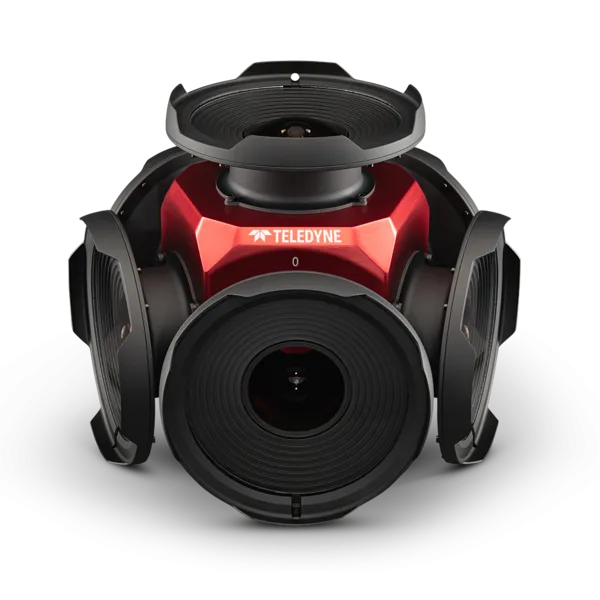
    Teledyne positions itself with Ladybug6
    Camera captures 360° images from moving platforms for HD mapping and asset inspection
  • February 15, 2017
    Australian new generation satellite positioning augmentation system kicks off
    Spanish technology multinational GMV has begun a two-year collaborative project with Geoscience Australia (GA) and the Australia and New Zealand Cooperative Research Centre for Spatial Information (CRCSI) for the deployment of a satellite positioning augmentation system. The objective of the project is to show the potential benefits of satellite navigation technologies in Australia, including integrity and high precision applications. The project aims to make Satellite Based Augmentation Systems (SBAS) a