Toyota enters partnership to build HD maps for AVs from space

Toyota Research Institute-Advanced Development (TRI-AD), technology company Maxar Technologies and NTT Data are working together to build high-definition (HD) maps for autonomous vehicles (AV) using satellite imagery. TRI-AD carried out an analysis, saying that current HD maps cover less than 1% of the global road network and there is a need to broaden the coverage of urban areas and local roads before AVs can become a mainstream mobility technology. A HD map created from satellite imagery would all
May 3, 2019 Read time: 2 mins
1686 Toyota Research Institute-Advanced Development (TRI-AD), technology company Maxar Technologies and NTT Data are working together to build high-definition (HD) maps for autonomous vehicles (AV) using satellite imagery.


TRI-AD carried out an analysis, saying that current HD maps cover less than 1% of the global road network and there is a need to broaden the coverage of urban areas and local roads before AVs can become a mainstream mobility technology.

A HD map created from satellite imagery would allow the driving software to compare multiple data sources and signal the car to take action to stay safe, the company adds.

Utilising Maxar’s Geospatial Big Data Platform, imagery from the company’s satellite imagery library will be fed into NTT Data’s specialised algorithms using artificial intelligence to extract information to generate the road network. TRI-AD will then make HD maps available for delivery from its cloud into Toyota test vehicles.

Mandali Khalesi, vice president of automated driving at TRI-AD, says advances in electronics and aerospace engineering are leading to higher resolutions and more frequent updates of global imagery from space-based assets.

“Additionally, machine learning is helping automate the discovery and integration of semantic relationships between road elements within image data,” Khalesi adds.

NTT Data, an IT services provider, will use its artificial intelligence and enhanced image-processing resources to expand the coverage of HD maps.

Katsuichi Sonoda, vice president and head of NTT Data’s social infrastructure solution sector, says: “In the future, we hope to map worldwide road networks from space using our enhanced image-processing expertise.”

For more information on companies in this article

Related Content

  • Hikvision adds AI to DeepinView cameras
    July 22, 2020

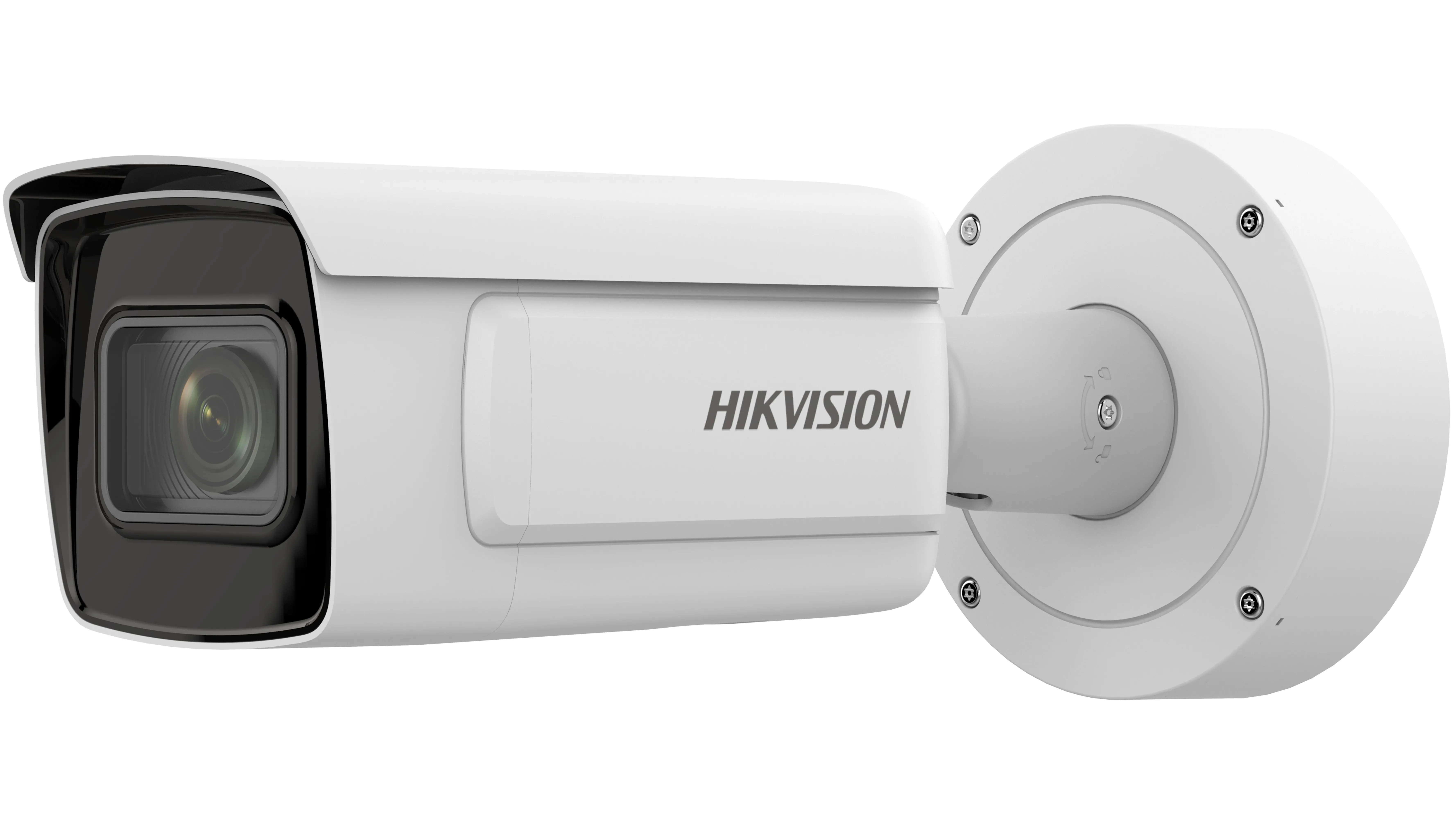
    Hikvision has added to its DeepinView camera line with what it calls the Dedicated subseries.

    The company says this loads a batch of artificial intelligence-powered deep learning algorithms into each unit, which are of use in two distinct categories.

    The first is vehicle analysis, where cameras combine automatic number plate recognition with vehicle attribute recognition - including make, colour and direction of movement. 

    Typical installations would be on city streets and at the entrances of car parks and buildings.  

  • Advances in real time traffic and travel information
    March 16, 2012
    David Crawford admires TomTom’s flying start to 2012. Gobal location and navigation equipment supplier TomTom rang in 2012 with two strategically important announcements. First was the signing of a deal with Korean electronics giant Samsung, representing an important consolidation of its position in the consumer market. Under this agreement, TomTom maps and location content will power the Samsung Wave3 smartphone, launched in autumn 2011. TomTom data will support navigation and search-and-find applications
  • Interoperability: towards the new frontier
    October 22, 2018
    After six years of intensive research, testing and negotiation, the US tolling industry is well on its way to groundbreaking results in the effort to establish regional - and eventually national - toll interoperability, says IBTTA’s Bill Cramer. Interoperability has been a high priority on the US tolling industry’s agenda for more than a decade. But several factors made it a uniquely complex issue to resolve - including the number of agencies involved, the significant investments those agencies had already
  • Toyota unveils online map for traffic in Japan
    July 18, 2019
    Toyota has released an online map which provides information on road closures and natural disasters in Japan. The company says users can check data from the past hour to 24 hours and carry out searches on areas of heavy traffic. The real-time data is based on the T-Connect/G-Book telematics service information from communications systems in Toyota’s vehicles, and the map is accessible from a smartphone, computer or other devices.