Toyota enters partnership to build HD maps for AVs from space

Toyota Research Institute-Advanced Development (TRI-AD), technology company Maxar Technologies and NTT Data are working together to build high-definition (HD) maps for autonomous vehicles (AV) using satellite imagery. TRI-AD carried out an analysis, saying that current HD maps cover less than 1% of the global road network and there is a need to broaden the coverage of urban areas and local roads before AVs can become a mainstream mobility technology. A HD map created from satellite imagery would all
May 3, 2019 Read time: 2 mins
1686 Toyota Research Institute-Advanced Development (TRI-AD), technology company Maxar Technologies and NTT Data are working together to build high-definition (HD) maps for autonomous vehicles (AV) using satellite imagery.


TRI-AD carried out an analysis, saying that current HD maps cover less than 1% of the global road network and there is a need to broaden the coverage of urban areas and local roads before AVs can become a mainstream mobility technology.

A HD map created from satellite imagery would allow the driving software to compare multiple data sources and signal the car to take action to stay safe, the company adds.

Utilising Maxar’s Geospatial Big Data Platform, imagery from the company’s satellite imagery library will be fed into NTT Data’s specialised algorithms using artificial intelligence to extract information to generate the road network. TRI-AD will then make HD maps available for delivery from its cloud into Toyota test vehicles.

Mandali Khalesi, vice president of automated driving at TRI-AD, says advances in electronics and aerospace engineering are leading to higher resolutions and more frequent updates of global imagery from space-based assets.

“Additionally, machine learning is helping automate the discovery and integration of semantic relationships between road elements within image data,” Khalesi adds.

NTT Data, an IT services provider, will use its artificial intelligence and enhanced image-processing resources to expand the coverage of HD maps.

Katsuichi Sonoda, vice president and head of NTT Data’s social infrastructure solution sector, says: “In the future, we hope to map worldwide road networks from space using our enhanced image-processing expertise.”

For more information on companies in this article

Related Content

  • Nairobi looks to ITS to ease travel problems
    March 6, 2018
    Shem Oirere looks at plans to tackle chronic congestion in the Kenyan capital - where commuters can typically expect it to take up to two hours to complete a 15km journey. Traffic jams in the Kenyan capital, Nairobi, are estimated to cost the country $360 million a year in terms of lost man-hours, fuel and pollution. According to Wilfred Oginga, an engineer with the Kenya Urban Roads Authority (KURA), the congestion has been exacerbated by poor regulation and enforcement of traffic rules, absence of
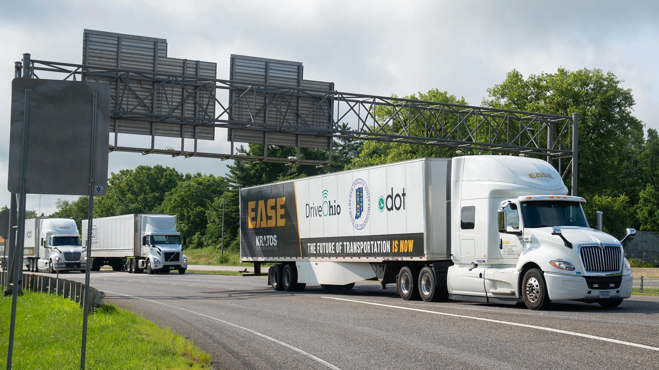
  • Platooning with Ease on the I-70
    July 15, 2025
    What would happen to truck platooning - a nascent technology - if the weather turns nasty? The I-70 Truck Automation Corridor Project in the northern US should provide some answers, reports David Arminas…
  • Smartphone solution for parking performance
    March 31, 2017
    Automated parking offers optimised space utilisation and fewer damage complaints as David Crawford discovers. As cars become smarter, technology designed to make parking them more straightforward is developing in parallel. In turn, it is becoming clear that the places where vehicles spend much of their time will need to respond – more comprehensively than by supporting established aids such as smartphone-based parking location and reservation, or payment for time used.