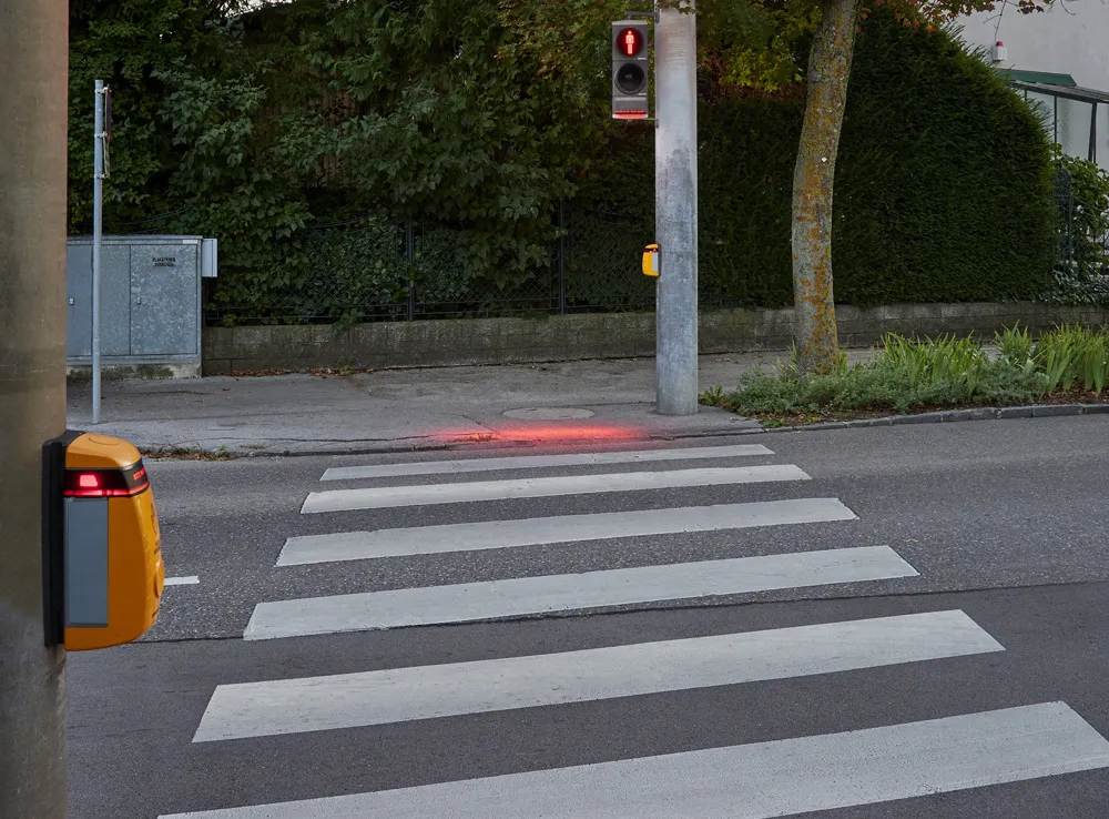
TRI-AD carried out an analysis, saying that current HD maps cover less than 1% of the global road network and there is a need to broaden the coverage of urban areas and local roads before AVs can become a mainstream mobility technology.
A HD map created from satellite imagery would allow the driving software to compare multiple data sources and signal the car to take action to stay safe, the company adds.
Utilising Maxar’s Geospatial Big Data Platform, imagery from the company’s satellite imagery library will be fed into NTT Data’s specialised algorithms using artificial intelligence to extract information to generate the road network. TRI-AD will then make HD maps available for delivery from its cloud into Toyota test vehicles.
Mandali Khalesi, vice president of automated driving at TRI-AD, says advances in electronics and aerospace engineering are leading to higher resolutions and more frequent updates of global imagery from space-based assets.
“Additionally, machine learning is helping automate the discovery and integration of semantic relationships between road elements within image data,” Khalesi adds.
NTT Data, an IT services provider, will use its artificial intelligence and enhanced image-processing resources to expand the coverage of HD maps.
Katsuichi Sonoda, vice president and head of NTT Data’s social infrastructure solution sector, says: “In the future, we hope to map worldwide road networks from space using our enhanced image-processing expertise.”
Toyota enters partnership to build HD maps for AVs from space
Toyota Research Institute-Advanced Development (TRI-AD), technology company Maxar Technologies and NTT Data are working together to build high-definition (HD) maps for autonomous vehicles (AV) using satellite imagery.
TRI-AD carried out an analysis, saying that current HD maps cover less than 1% of the global road network and there is a need to broaden the coverage of urban areas and local roads before AVs can become a mainstream mobility technology.
A HD map created from satellite imagery would all