TomTom launches RoadDNA

TomTom has launched TomTom RoadDNA, a new product for vehicle localisation that will help make automated driving a reality, faster. Designed with vehicle data storage and processing limitations in mind, RoadDNA delivers highly accurate location information that can easily be integrated into the on-board system of a vehicle. RoadDNA’s propriety technology delivers a highly optimised lateral and longitudinal view of the roadway. By matching RoadDNA data with vehicle sensor data in real-time a vehicle knows
September 14, 2015 Read time: 2 mins
1692 TomTom has launched TomTom RoadDNA, a new product for vehicle localisation that will help make automated driving a reality, faster. Designed with vehicle data storage and processing limitations in mind, RoadDNA delivers highly accurate location information that can easily be integrated into the on-board system of a vehicle.

RoadDNA’s propriety technology delivers a highly optimised lateral and longitudinal view of the roadway. By matching RoadDNA data with vehicle sensor data in real-time a vehicle knows its location on the road, even while travelling at high speeds or when changes occur to the roadside.

By converting a 3D point cloud of road side patterns into a compressed, 2D view of the roadway, RoadDNA delivers a solution that needs little storage space and limits processing requirements, without losing detail. It eliminates the complexity of identifying each single roadway object, but instead creates a unique pattern of the roadway environment. This makes the technology robust and scalable.  

TomTom RoadDNA, combined with the TomTom HAD Map, delivers accurate and robust technology by providing real-time information about a vehicle’s precise location on a map whilst coping with changes in the environment.

“We know that the future of automated driving hinges on the ability of a vehicle to continuously know exactly where it is located on the road,” said Harold Goddijn, TomTom CEO. “TomTom RoadDNA is the only technology of its kind that delivers highly accurate vehicle localisation content in an efficient and cost effective way.”

Related Content

  • Rekor unveils new traffic data collection system
    September 21, 2022
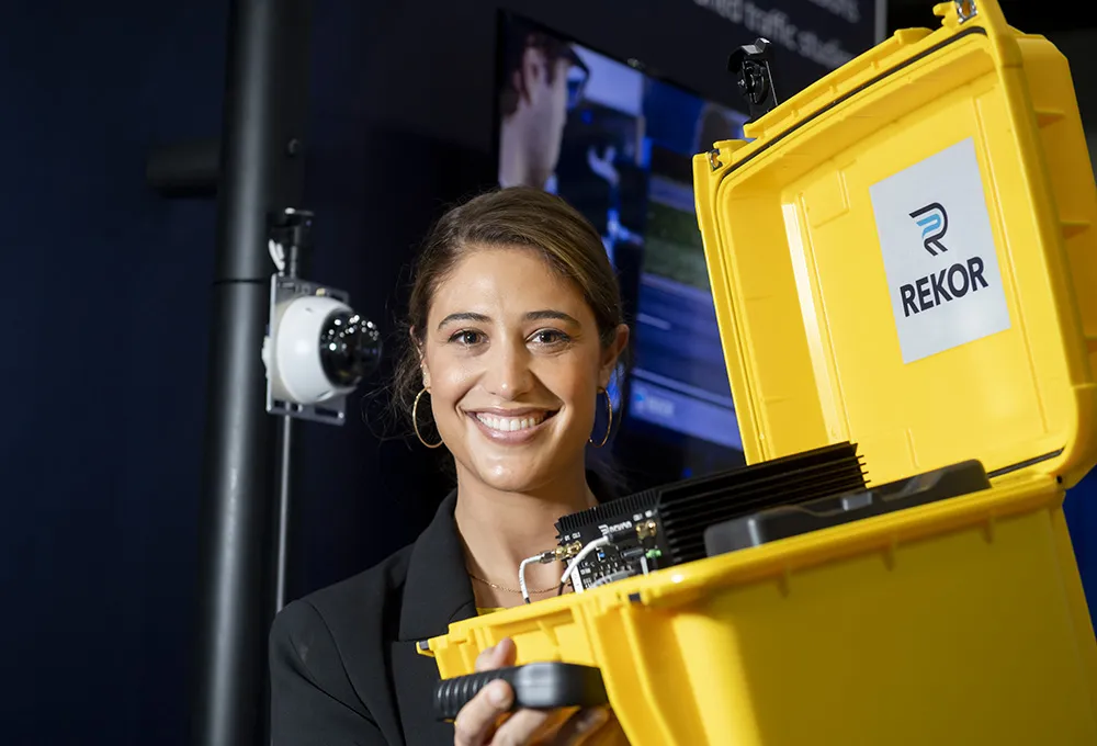
    Rekor unveiled its new non-intrusive traffic data collection system on the showroom floor at ITS World Congress in Los Angeles.
  • InfoConnect delivers accurate travel information on all levels
    August 1, 2012
    Deryk Whyte provides an overview of how the New Zealand Transport Agency's InfoConnect concept was developed. Historically, the New Zealand Transport Agency (NZTA) (formerly Transit New Zealand) has faced challenges in communicating effectively with road users, its customers, about highway-related events or incidents in a timely, accurate manner. Prior to 2007, Transit relied on a third-party organisation to collect and disseminate national road condition information. This often resulted in incomplete infor
  • Bespoke ITS is helping to reduced collisions on America’s rural roads
    October 22, 2014
    David Crawford cherrypicks conference and award highlights Almost 30% of all US citizens live in rural areas or very small communities, and 34 of the 50 states exceed this level in their own populations, with the proportions rising as high as 85%. And although rural routes carry only 35% of all traffic, the accidents that occur on them account for some 54% of all US road traffic accident deaths.
  • Driver aids make inroads on improving safety
    November 12, 2015
    In-vehicle anti-collision systems continue to evolve and could eliminate some incidents altogether. John Kendall rounds up the current developments. A few weeks ago, I watched a driver reverse a car from a parking bay at right angles to the road, straight into a car driving along the road. The accident happened at walking pace, no-one was hurt and both cars had body panels that regain their shape after a low speed shunt.