TomTom launches RoadDNA

TomTom has launched TomTom RoadDNA, a new product for vehicle localisation that will help make automated driving a reality, faster. Designed with vehicle data storage and processing limitations in mind, RoadDNA delivers highly accurate location information that can easily be integrated into the on-board system of a vehicle. RoadDNA’s propriety technology delivers a highly optimised lateral and longitudinal view of the roadway. By matching RoadDNA data with vehicle sensor data in real-time a vehicle knows
September 14, 2015 Read time: 2 mins
1692 TomTom has launched TomTom RoadDNA, a new product for vehicle localisation that will help make automated driving a reality, faster. Designed with vehicle data storage and processing limitations in mind, RoadDNA delivers highly accurate location information that can easily be integrated into the on-board system of a vehicle.

RoadDNA’s propriety technology delivers a highly optimised lateral and longitudinal view of the roadway. By matching RoadDNA data with vehicle sensor data in real-time a vehicle knows its location on the road, even while travelling at high speeds or when changes occur to the roadside.

By converting a 3D point cloud of road side patterns into a compressed, 2D view of the roadway, RoadDNA delivers a solution that needs little storage space and limits processing requirements, without losing detail. It eliminates the complexity of identifying each single roadway object, but instead creates a unique pattern of the roadway environment. This makes the technology robust and scalable.  

TomTom RoadDNA, combined with the TomTom HAD Map, delivers accurate and robust technology by providing real-time information about a vehicle’s precise location on a map whilst coping with changes in the environment.

“We know that the future of automated driving hinges on the ability of a vehicle to continuously know exactly where it is located on the road,” said Harold Goddijn, TomTom CEO. “TomTom RoadDNA is the only technology of its kind that delivers highly accurate vehicle localisation content in an efficient and cost effective way.”

Related Content

  • November 9, 2023
    A revisited framework for ITS in Europe
    Following the newly-adopted European Directive on ITS, Joost Vantomme of Ertico – ITS Europe, shares his insights on the legislation and its opportunities for the entire industry
  • November 20, 2024
    Step into the future with Yutraffic Studio

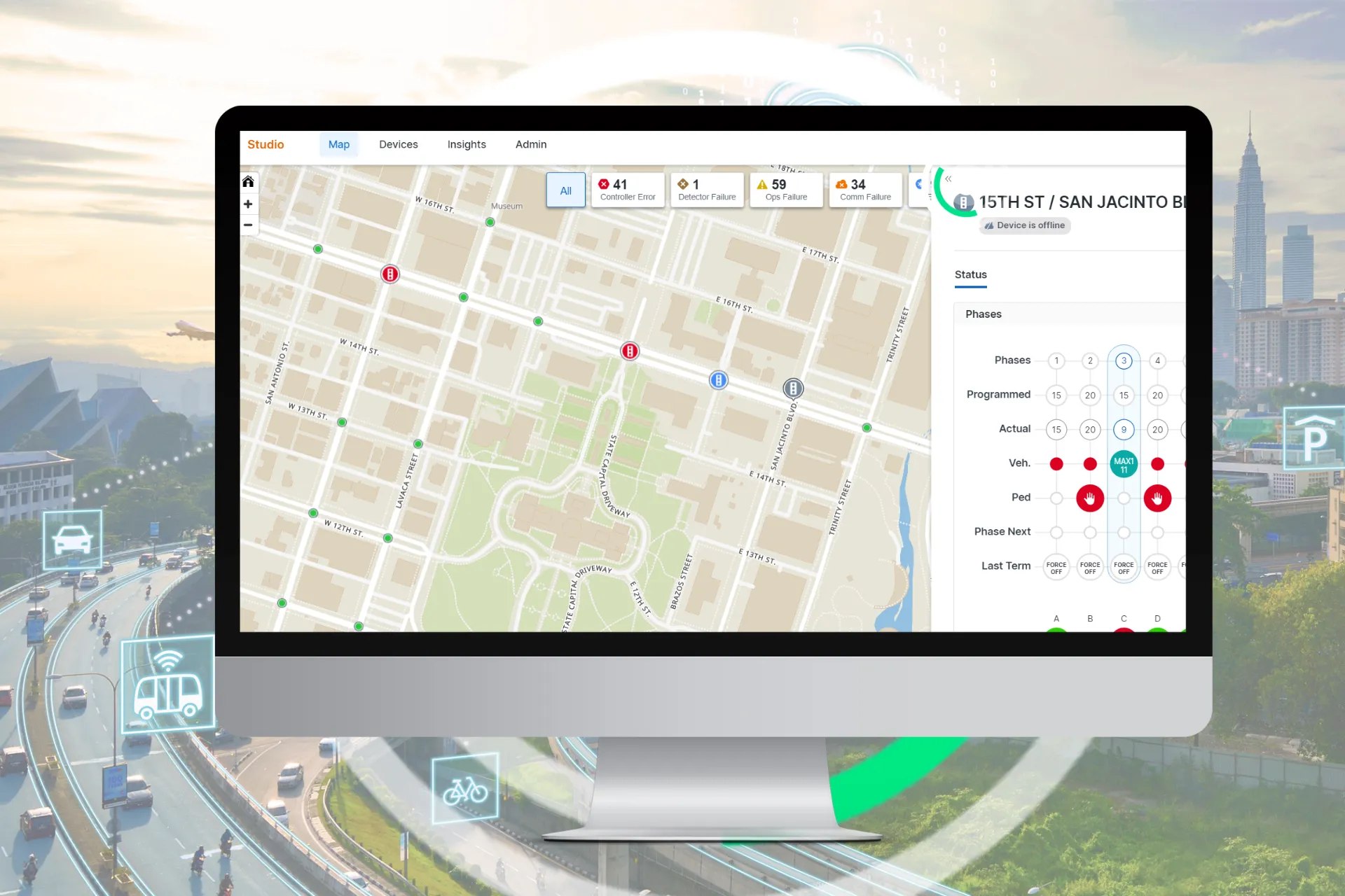
    Yunex Traffic has announced the launch of Yutraffic Studio, a groundbreaking platform designed to revolutionize urban traffic management. With six innovative customers already on board, Yutraffic Studio is poised to transform how cities manage and optimize their transportation systems.

  • September 6, 2017
    Remote remedies help US authorities identify bridge deficiencies
    Every day 185 million vehicles – cars, trucks, school buses, emergency response units - cross one or more of America’s 55,710 'structurally compromised' steel and concrete road bridges, the highest concentration of which are in Iowa (nearly 5,000), Pennsylvania and Oklahoma. Nearly 2,000 of these crossings are located on interstate highways, according to the American Road and Transportation Builders Association's recent analysis of the US Department of Transportation's 2016 National Bridge Inventory.
  • July 7, 2017
    Missouri’s smart solution for rural road monitoring
    David Crawford sees how Missouri is using commercially available information to rapidly improve monitoring and driver information on rural highways. Missouri is a predominantly rural state with the second largest number of farms in the country and agriculture the main occupation in 97 of its 114 counties. US statistics starkly reveal how road accidents in rural areas tend to be more serious than in urban regions and of the 32,000 US motorists killed each year, 54% die on roads in rural areas even though onl