TomTom launches RoadDNA

TomTom has launched TomTom RoadDNA, a new product for vehicle localisation that will help make automated driving a reality, faster. Designed with vehicle data storage and processing limitations in mind, RoadDNA delivers highly accurate location information that can easily be integrated into the on-board system of a vehicle. RoadDNA’s propriety technology delivers a highly optimised lateral and longitudinal view of the roadway. By matching RoadDNA data with vehicle sensor data in real-time a vehicle knows
September 14, 2015 Read time: 2 mins
1692 TomTom has launched TomTom RoadDNA, a new product for vehicle localisation that will help make automated driving a reality, faster. Designed with vehicle data storage and processing limitations in mind, RoadDNA delivers highly accurate location information that can easily be integrated into the on-board system of a vehicle.

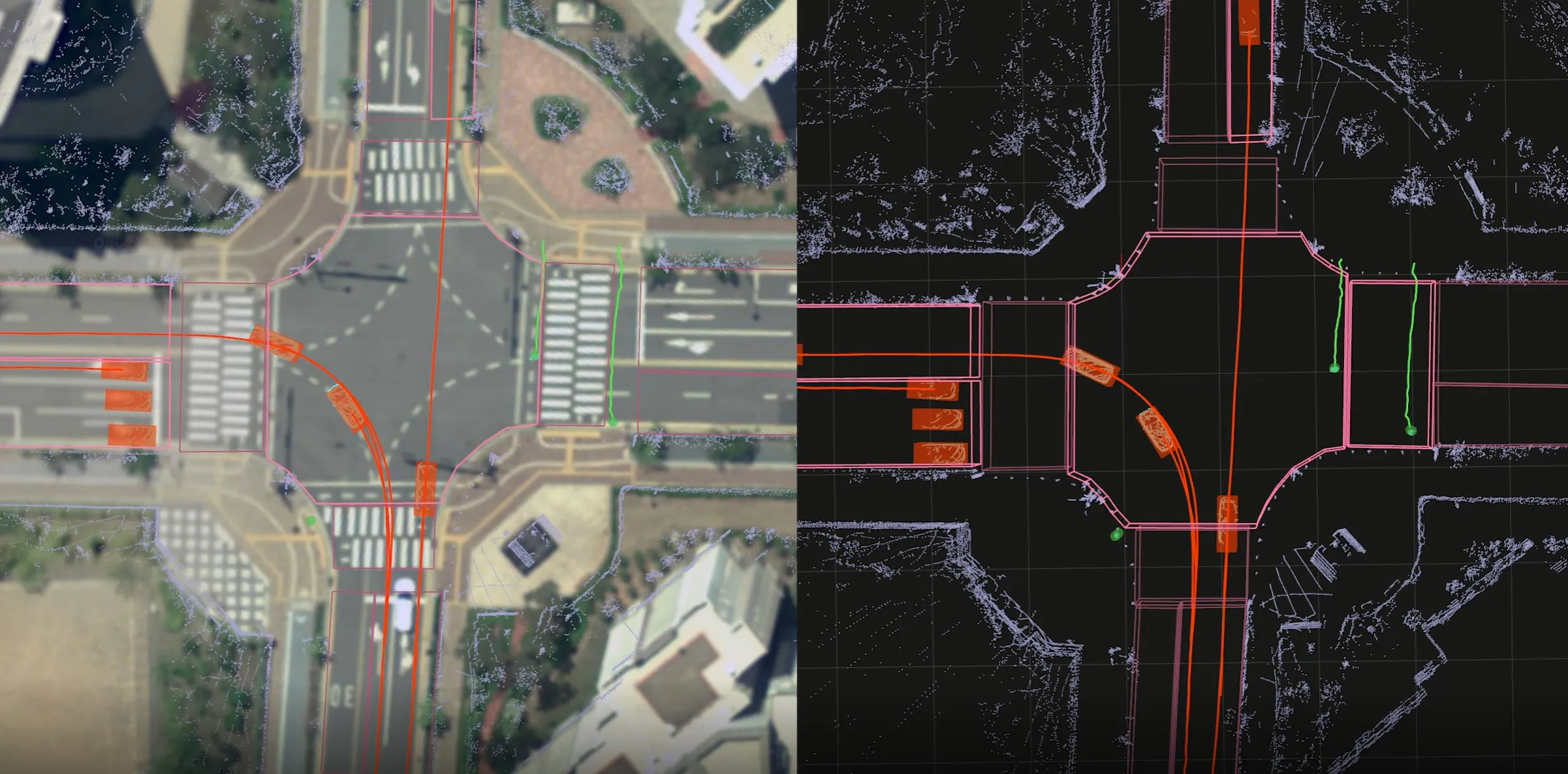
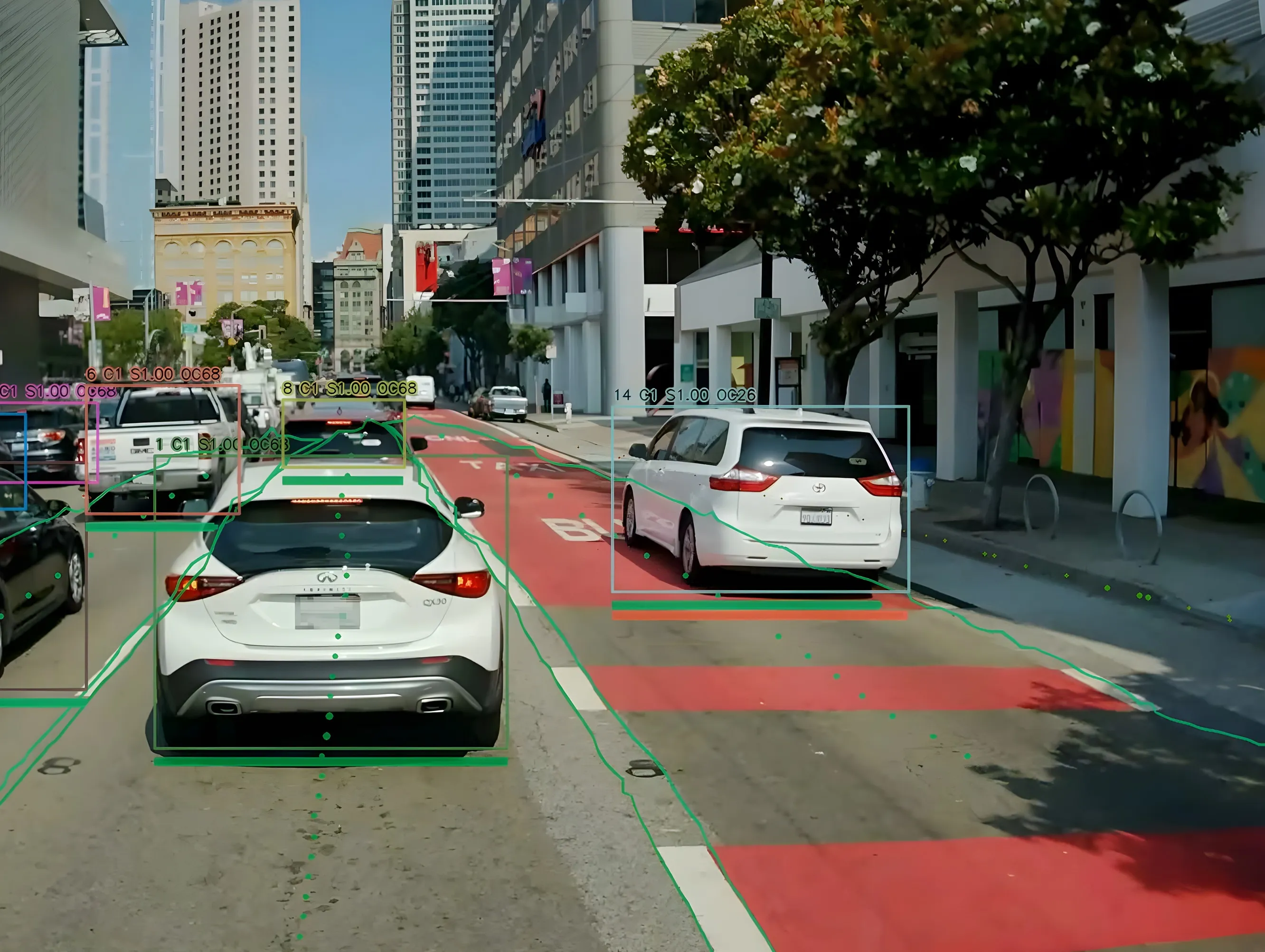
RoadDNA’s propriety technology delivers a highly optimised lateral and longitudinal view of the roadway. By matching RoadDNA data with vehicle sensor data in real-time a vehicle knows its location on the road, even while travelling at high speeds or when changes occur to the roadside.

By converting a 3D point cloud of road side patterns into a compressed, 2D view of the roadway, RoadDNA delivers a solution that needs little storage space and limits processing requirements, without losing detail. It eliminates the complexity of identifying each single roadway object, but instead creates a unique pattern of the roadway environment. This makes the technology robust and scalable.  

TomTom RoadDNA, combined with the TomTom HAD Map, delivers accurate and robust technology by providing real-time information about a vehicle’s precise location on a map whilst coping with changes in the environment.

“We know that the future of automated driving hinges on the ability of a vehicle to continuously know exactly where it is located on the road,” said Harold Goddijn, TomTom CEO. “TomTom RoadDNA is the only technology of its kind that delivers highly accurate vehicle localisation content in an efficient and cost effective way.”

Related Content

  • October 7, 2013
    Cellular-based probe system delivers real time traffic data
    Toll and traffic management solutions provider IBI Group and Cellint Traffic Solutions, a provider of real-time road traffic information based on cellular data have successfully completed the data validation phase of the regional traffic data system (RTDS) project in Vancouver. The project aims to collect, disseminate and archive real time traffic flow information for the road network in Metro Vancouver and display real time traffic flow and travel time information on regional ATIS.
  • May 18, 2018
    New ANPR solutions overcome variables
    The sheer range of variables makes it difficult to find a single algorithm to ensure a 100% standard of ANPR. David Crawford investigates new processing technology. Automatic number plate recognition (ANPR), using optical character recognition and image-processing to identify vehicles, plays key roles in traffic monitoring and law enforcement, access and parking control, electronic toll collection, vehicle security and crime deterrence. Overall, system performance is well rated, with high levels of
  • March 25, 2022
    Seoul Robotics opens doors of perception
    SENSR-I software can capture actionable data on movement of people and vehicles
  • August 29, 2024
    Hayden AI & Snapper Services keep their eyes on the road
    Snapper Services CEO Miki Szikszai and Chris Carson, CEO of Hayden AI, tell Adam Hill about synergy and partnership – and how to make use of data once you’ve gathered it