TomTom launches RoadDNA

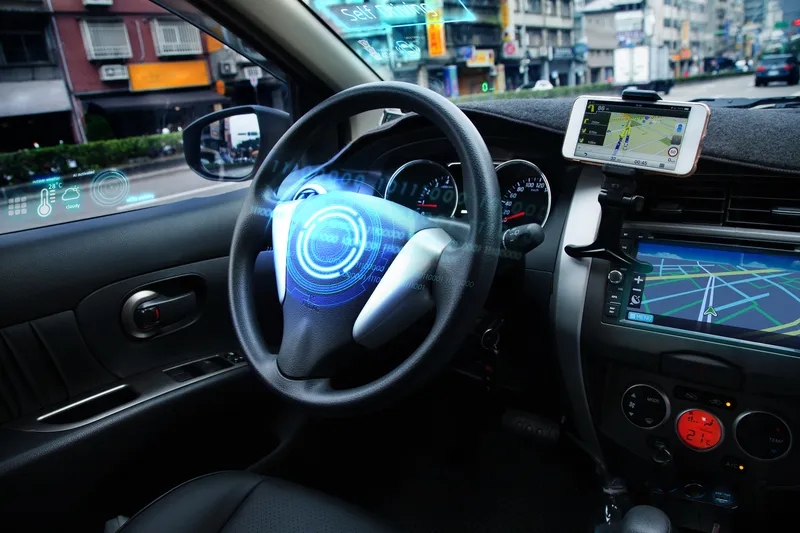
TomTom has launched TomTom RoadDNA, a new product for vehicle localisation that will help make automated driving a reality, faster. Designed with vehicle data storage and processing limitations in mind, RoadDNA delivers highly accurate location information that can easily be integrated into the on-board system of a vehicle. RoadDNA’s propriety technology delivers a highly optimised lateral and longitudinal view of the roadway. By matching RoadDNA data with vehicle sensor data in real-time a vehicle knows
September 14, 2015 Read time: 2 mins
1692 TomTom has launched TomTom RoadDNA, a new product for vehicle localisation that will help make automated driving a reality, faster. Designed with vehicle data storage and processing limitations in mind, RoadDNA delivers highly accurate location information that can easily be integrated into the on-board system of a vehicle.

RoadDNA’s propriety technology delivers a highly optimised lateral and longitudinal view of the roadway. By matching RoadDNA data with vehicle sensor data in real-time a vehicle knows its location on the road, even while travelling at high speeds or when changes occur to the roadside.

By converting a 3D point cloud of road side patterns into a compressed, 2D view of the roadway, RoadDNA delivers a solution that needs little storage space and limits processing requirements, without losing detail. It eliminates the complexity of identifying each single roadway object, but instead creates a unique pattern of the roadway environment. This makes the technology robust and scalable.  

TomTom RoadDNA, combined with the TomTom HAD Map, delivers accurate and robust technology by providing real-time information about a vehicle’s precise location on a map whilst coping with changes in the environment.

“We know that the future of automated driving hinges on the ability of a vehicle to continuously know exactly where it is located on the road,” said Harold Goddijn, TomTom CEO. “TomTom RoadDNA is the only technology of its kind that delivers highly accurate vehicle localisation content in an efficient and cost effective way.”

Related Content

  • March 15, 2016
    Rethink required to reduce road transport’s environmental impact
    Against a background of a renewed focus on limiting the rise in average temperatures, Colin Sowman looks at a project that is taking a holistic approach to the environmental impact and safety of road transport. At the COP21 meeting in Paris last December, almost 200 nations agreed to reduce greenhouse gas emissions in an effort to keep the rise in global temperatures to 2°C) compared with pre-industrial levels. The transportation sector is a major contributor to the production of CO2, one of the main green
  • January 6, 2023
    CES 2023: for more info see Here
    ADAS, mapping and road safety alerts are among the tech firm's launches in Las Vegas
  • April 14, 2025
    Lidar lets planners see big picture in Chattanooga
    The city of Chattanooga, Tennessee, is attempting to make its streets safer by using the largest deployment of Lidar-based traffic detection in the US. Adam Hill reports…
  • May 18, 2018
    Joining the dots: four ways to help cities make the connection
    Smoothing the path to connected transportation systems in urban areas all round the world takes a lot of planning: Cisco’s Kyle Connor lays out the four key areas on which he thinks cities should focus. Forward-thinking cities around the world are exploring innovative, new ways to leverage the Internet of Things (IoT) and related technologies to create more connected and efficient transportation systems. Through greater digitisation and connectivity, cities can optimise public transit routes, reduce