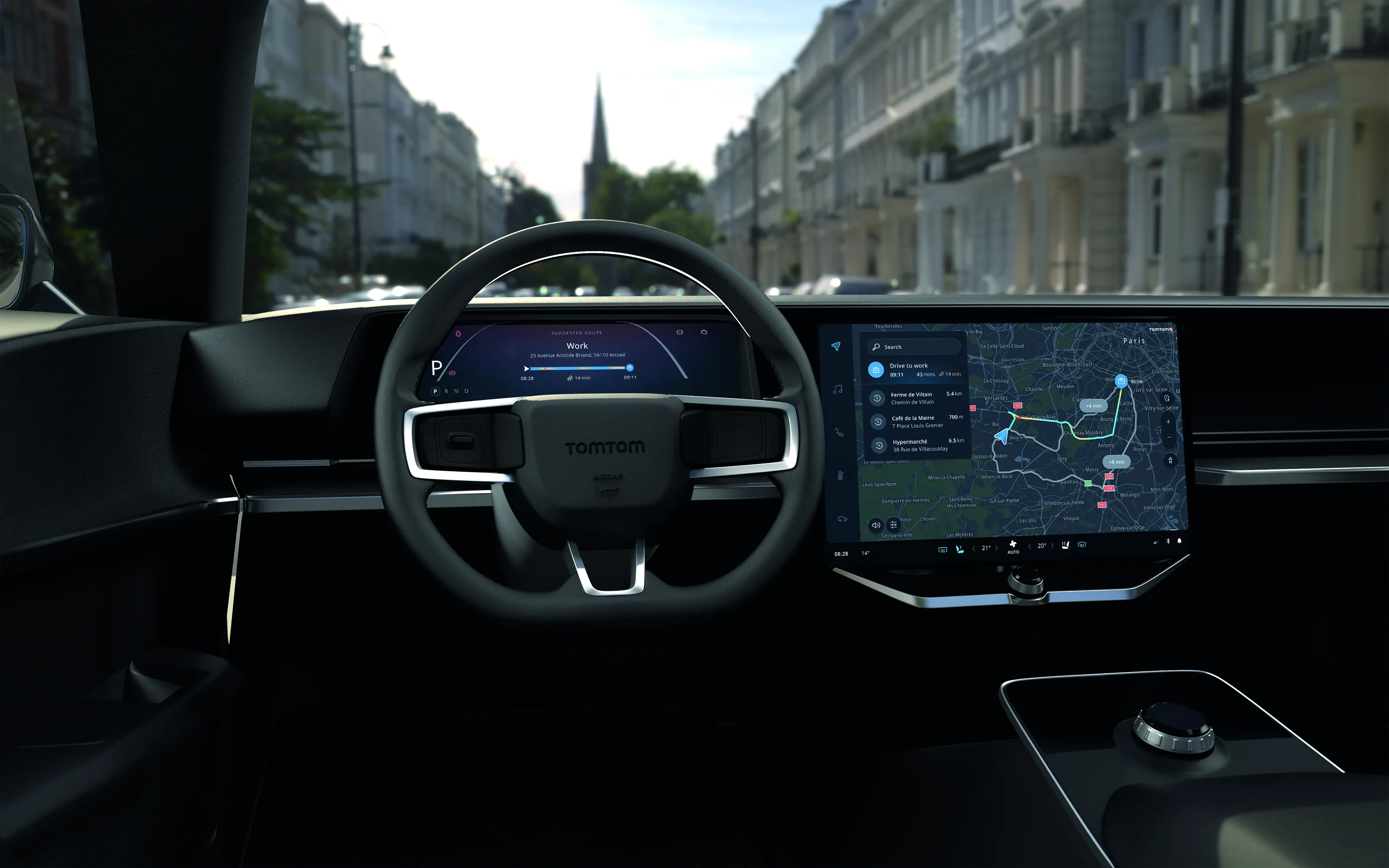
TomTom enters partnership to update HD Map

TomTom has partnered with Hella Algaia, a supplier of computer vision software, to update its high definition (HD) map in real-time using crowdsourced data from vehicles.
September 13, 2019 Read time: 1 min


Willem Strijbosch, head of autonomous driving at TomTom, says: “We are offering automakers and Tier 1s the possibility to move towards faster TomTom HD Map updates.”

As part of the deal, Hella will use TomTom’s map delivery system AutoStream to access the HD Map on demand and use it for vehicle localisation. Hella will also share processed camera data to TomTom’s cloud-based mapping system for autonomous driving, updating the HD Map in real-time.

TomTom says this will be achieved by generating crowdsourced map updates called Roadagrams which ensure the HD Map reflects real road conditions. AutoStream then delivers the updated map data back to the vehicle, the company adds.

Kay Talmi, managing director at Hella Aglaia, says: “By achieving compatibility between TomTom’s cloud-based mapping service and Aglaia’s in-vehicle camera software we will be able to offer automakers a new option for HD Map updates from their fleet.”

Related Content

  • November 2, 2016
    Ertico coordinates big data debate
    David Crawford finds that agreeing a common data standard for auto manufacturers’ onboard sensors, navigation system companies and map makers is proving a complex task.
  • March 26, 2021
    TomTom offers hybrid navigation solution 
    Drivers can interact with TomTom’s navigation via Amazon Alexa
  • December 5, 2012
    Reducing congestion with Tomtom's historical traffic data
    Historical traffic data provided by TomTom is being used by the local government in Spain’s Basque region to reduce road congestion at less cost. Old habits die hard. Photos from as far back as the 1930s show people counting cars by the roadside in order to provide congestion data to those running road networks. Today, such techniques are still used, albeit augmented by a range of automation technologies such as inductive loops, infra-red sensors and number plate recognition. Even with these advances, howe
  • October 8, 2015
    Autonomous vehicle accuracy mapping from TomTom
    Pride of place on satellite navigation pioneer TomTom’s stand is very high resolution 3D mapping, initially for Germany, which it says provides the 10cm accuracy necessary for highly automated vehicles. Its mainstream mapping is also high definition meaning the image can be used on any size of screen – as visitors can see.