TomTom delivers data in Esri format

TomTom has announced the availability of its MultiNet suite of map products in Esri’s file geodatabase format. Large TomTom datasets may now be consumed directly by Esri applications in a file geodatabase format that is configurable within the customer’s environment, saving time and effort for GIS professionals. The geodatabase format enables Esri users to utilise their TomTom data within multiuser access and editing environments for desktop, server and mobile environments.
March 22, 2012 Read time: 1 min
1692 TomTom has announced the availability of its MultiNet suite of map products in 50 ESRI’s file geodatabase format. Large TomTom datasets may now be consumed directly by Esri applications in a file geodatabase format that is configurable within the customer’s environment, saving time and effort for GIS professionals. The geodatabase format enables Esri users to utilise their TomTom data within multiuser access and editing environments for desktop, server and mobile environments.

“At Esri, we believe that geospatial data should not only be easy to use but also scalable,” said Christophe Charpentier, manager of content at Esri. “TomTom is proving to be a proactive and responsive partner by delivering a customised solution for our users.”

TomTom provides file geodatabase format for the following products: MultiNet, MultiNet Enterprise, MultiNet Administrative Areas, MultiNet Census Enabled Geocoding Layer, MultiNet Locality Index, and MultiNet Post.

For more information on companies in this article

Related Content

  • WPS delivers seamless parking solution
    March 30, 2022
    WPS has developed an exciting new platform that brings together existing and new equipment, both its own and third party, software applications and operator services. The platform can deliver a seamless parking solution, to help solve various challenges faced by businesses who rely on efficient parking to help increase customer satisfaction.
  • Data clears the road, says TomTom
    July 11, 2025
    Technology is one of the main tools in cutting congestion quickly and effectively. But it can’t just be about making things better for car drivers, explains TomTom’s Andy Marchant…
  • Esri highlights benefits of a state-wide data-rich environment
    September 7, 2020
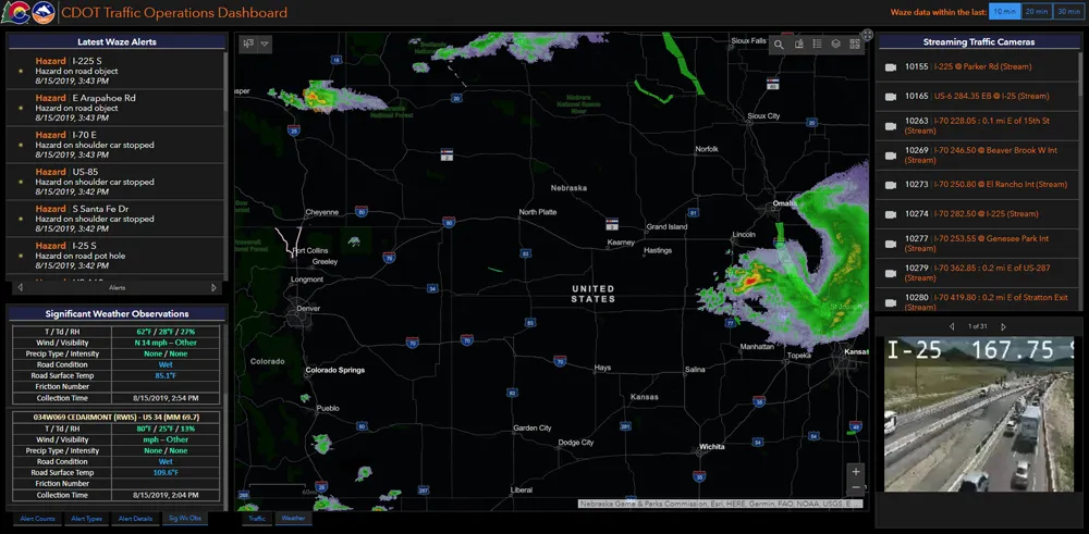
    Walk into virtually any traffic operations centre and you will be confronted by people flipping between different screens and CCTV monitors, and individually viewing a large number of stand-alone applications to try to understand a comprehensive picture of their live traffic, weather, incident, and snow conditions from these disparate sources.
  • Open communication platform to support cooperative infrastructure
    July 23, 2012
    Within the European Commission's CVIS project, work is going on to shrink the open vehicle communication platform to make it more market-ready and to remove barriers to the creation of appropriate applications by those external to the project. Here, ERTICO's Zeljko Jeftic and Paul Kompfner and Q-Free's Knut Evensen discuss progress. Development of the open communication platform which will support the various applications developed by the European Commission's (EC's) Cooperative Vehicle-Infrastructure Syste