TomTom delivers data in Esri format

TomTom has announced the availability of its MultiNet suite of map products in Esri’s file geodatabase format. Large TomTom datasets may now be consumed directly by Esri applications in a file geodatabase format that is configurable within the customer’s environment, saving time and effort for GIS professionals. The geodatabase format enables Esri users to utilise their TomTom data within multiuser access and editing environments for desktop, server and mobile environments.
March 22, 2012 Read time: 1 min
1692 TomTom has announced the availability of its MultiNet suite of map products in 50 ESRI’s file geodatabase format. Large TomTom datasets may now be consumed directly by Esri applications in a file geodatabase format that is configurable within the customer’s environment, saving time and effort for GIS professionals. The geodatabase format enables Esri users to utilise their TomTom data within multiuser access and editing environments for desktop, server and mobile environments.

“At Esri, we believe that geospatial data should not only be easy to use but also scalable,” said Christophe Charpentier, manager of content at Esri. “TomTom is proving to be a proactive and responsive partner by delivering a customised solution for our users.”

TomTom provides file geodatabase format for the following products: MultiNet, MultiNet Enterprise, MultiNet Administrative Areas, MultiNet Census Enabled Geocoding Layer, MultiNet Locality Index, and MultiNet Post.

Related Content

  • March 16, 2012
    Advances in real time traffic and travel information
    David Crawford admires TomTom’s flying start to 2012. Gobal location and navigation equipment supplier TomTom rang in 2012 with two strategically important announcements. First was the signing of a deal with Korean electronics giant Samsung, representing an important consolidation of its position in the consumer market. Under this agreement, TomTom maps and location content will power the Samsung Wave3 smartphone, launched in autumn 2011. TomTom data will support navigation and search-and-find applications
  • March 26, 2015
    Trafficware upgrades ATMS software
    Trafficware’s latest version of its advanced traffic management system, ATMS.now 2.2, will support both of the widely popular Google Maps and Microsoft Bing Maps web-based mapping systems, says the company. As Trafficware’s product development is driven by customer feedback, ATMS.now 2.2 provides more flexibility and convenience selecting mapping capabilities from an array of resources versus being limited to a single source. The latest release also includes enhanced analysis tools, the expanded measu
  • January 17, 2022
    Iteris’ ClearGuide answers USDoT call on traffic fatalities
    Jeff Venables of Iteris explains the new approach ClearGuide Speeding Analytics takes to help US agencies realise their USDoT safety initiatives as road deaths soar
  • April 28, 2025
    TomTom and Esri fusion transform urban mobility

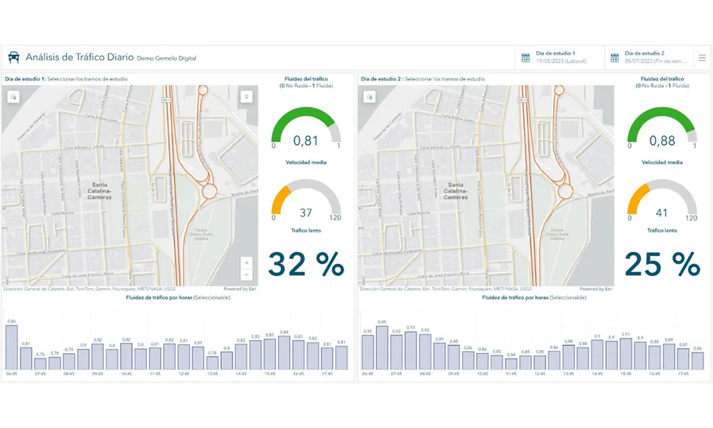
    A collaboration between TomTom and Esri will take centre stage at the upcoming Congress with a session titled "Driving Insights: Unlocking the Power of TomTom Historic Traffic Data in ArcGIS.” Led by industry experts Frans Keijzer from TomTom and Jaime Nieves from Esri Spain, this presentation will showcase how integrating TomTom's historical traffic data with the ArcGIS platform has transformed urban mobility in Gran Canaria, Spain.