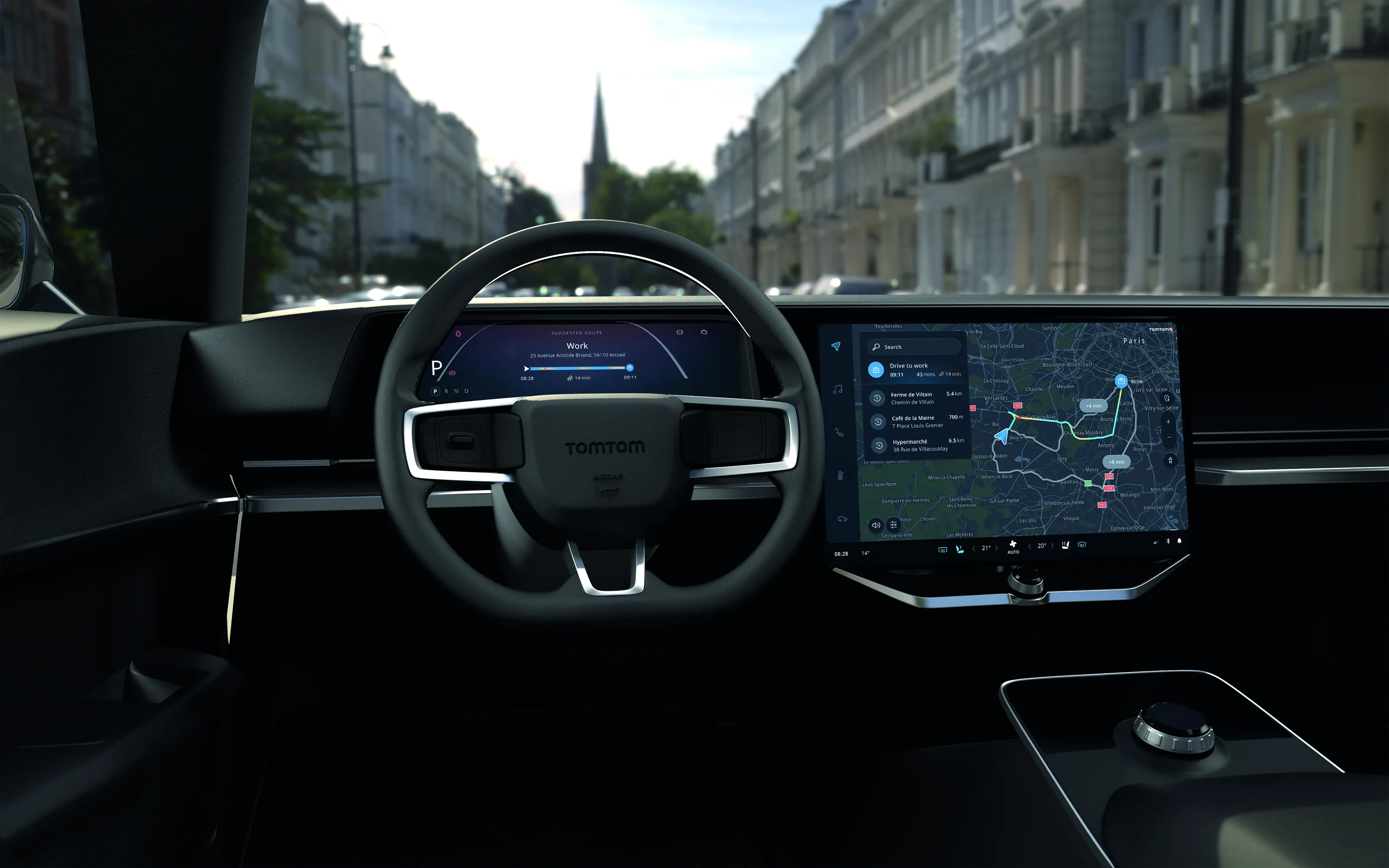
TomTom and Volkswagen partner on automated driving

TomTom and Volkswagen Group Research have signed a Memorandum of Understanding to join forces for the development of highly automated driving (HAD) systems. Their aim is to jointly develop the digital map that is essential for automated driving by combining TomTom’s expertise in map content and map making with Volkswagen’s know-how of the car and automated driving. The map that is used today for navigation, including geometry, street names, and addressing, is not sufficient for the future needs of a
October 3, 2014 Read time: 2 mins
1692 TomTom and 994 Volkswagen Group Research have signed a Memorandum of Understanding to join forces for the development of highly automated driving (HAD) systems.

Their aim is to jointly develop the digital map that is essential for automated driving by combining TomTom’s expertise in map content and map making with Volkswagen’s know-how of the car and automated driving.

The map that is used today for navigation, including geometry, street names, and addressing, is not sufficient for the future needs of automated driving. The car’s computer will require much more accurate and up-to-date information about its location and environment than is provided today. This includes for example more detailed information lane markings and traffic lights.

TomTom and Volkswagen Research are working on a concept based on the navigation data standard (NDS) to deliver scalable and cost effective automated driving systems that do not require expensive hardware.

“Partnering with Volkswagen Group Research to develop the future of HAD reaffirms TomTom’s position as a key partner in the automotive market,” said Harold Goddijn, CEO of TomTom. “TomTom’s mapping expertise provides the precise data and scalable technology platform needed to enable highly automated driving in cars.”

Related Content

  • March 26, 2021
    TomTom offers hybrid navigation solution 
    Drivers can interact with TomTom’s navigation via Amazon Alexa
  • December 5, 2013
    Vehicle manufacturers and local authorities seek satnav solutions
    The increasing capability of satellite navigation is helping vehicle manufacturers and local authorities as well as individual drivers and fleets. In comparison to the physical ITS infrastructure in towns and cities and on motorways and highways, satellite navigation (satnav) systems have come a long way in a short time. Many (if not the majority) individual drivers and fleets use or have access to a satnav and now the vehicle manufacturers and even local authorities are beginning to utilise satnav derived
  • December 5, 2012
    Reducing congestion with Tomtom's historical traffic data
    Historical traffic data provided by TomTom is being used by the local government in Spain’s Basque region to reduce road congestion at less cost. Old habits die hard. Photos from as far back as the 1930s show people counting cars by the roadside in order to provide congestion data to those running road networks. Today, such techniques are still used, albeit augmented by a range of automation technologies such as inductive loops, infra-red sensors and number plate recognition. Even with these advances, howe
  • February 1, 2012
    Intersection management, cooperative infrastructures - what next?
    What do recent vehicle recalls mean for future cooperative infrastructures? Anthony Smith takes a look. As ITS industry stakeholders converge on Amsterdam for the 2010 Cooperative Mobility Showcase, an unprecedentedly wide range of technologies will be on display demonstrating what might be achievable in the future from innovations based on Vehicle-to-Vehicle (V2V) and Vehicle-to-Infrastructure (V2I) communications.