Septentrio demos AV localisation tech

Septentrio provided GPS/global navigation satellite system (GNSS) technology for computer vision supplier Artisense’s Visual Inertial Navigation System (VINS).
October 11, 2019 Read time: 1 min


Septentrio says the GNSS technology provides centimetre-level positioning to the VINS system with the accuracy required for lane-level manoeuvring and vehicle to vehicle warning systems. Cameras and inertial sensors continue localisation as the vehicle moves into tunnels or parking garages with no line of sight to GNNS satellites, the company adds.

The VINS is expected to combine computer vision, inertial sensors and GNSS measurements to deliver 3D positioning and orientation information in any environment, even indoors.

Septentrio business development director Jan Van Hees says: “The result of our cooperation is precise localisation in any environment offering positioning reliability and redundancy needed for safety-critical applications such as autonomous vehicles or robotics.”

A demonstration at Auto.ai in Berlin offered rides around the German capital in a car featuring VINS technology. One screen inside the car continuously displayed its location as the system continued localisation in all locations including tunnels and parking garages. The second screen featured a real-time 3D point-cloud reconstruction of the car’s surroundings.

Related Content

  • SICK launches all-weather 3D sensor system for traffic management
    January 29, 2018
    Sick has launched the TIC502 Lidar sensor traffic and warning system which is said to scan vehicles up to 100 times a second with 99% accuracy to generate a 3D profile of each vehicle. The all-weather solution can be used for counting fast lane, free-flowing and static traffic to facilitate real-time management and electronic toll charge assessment of all vehicle types according to standard international transport classifications. TIC502 has a range of up to 40 metres and minimum mounting height of 1.5
  • Quarterhill to showcase smarter transportation solutions
    July 29, 2025

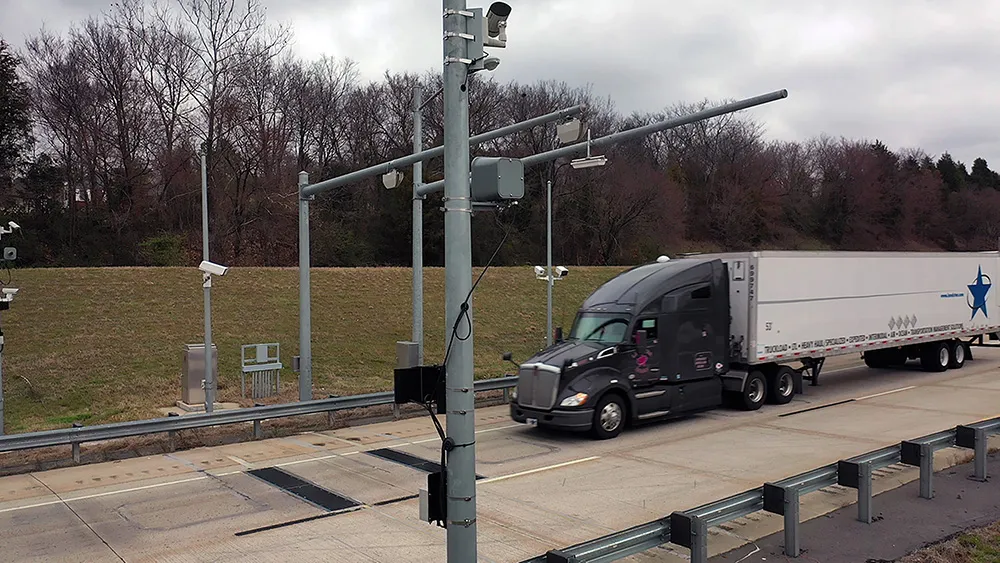
    Quarterhill will be demonstrating how it specialises in advanced technologies that enhance efficiency, sustainability, and compliance across global mobility systems.

    The company’s core offerings on display will include tolling and commercial vehicle enforcement solutions, designed to optimise monitoring, enforcement, and transaction processing, ultimately improving the performance of transport networks.

  • Entering the ANPR sector with Plate-i Dome
    April 11, 2024
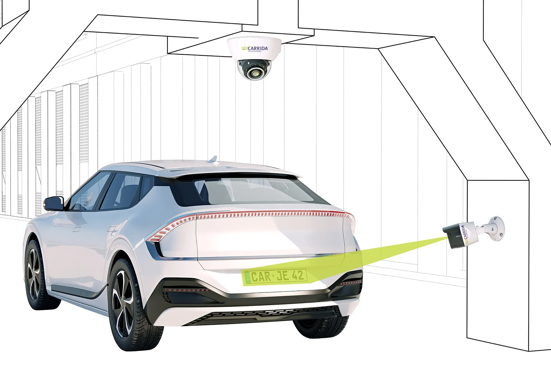
    Carrida's product is an 'entry-price' camera with a large detection range of 16m
  • Euromed countries warm to Galileo’s services
    June 6, 2014
    The EU is helping countries in North Africa and the Middle East utilise Galileo’s services. With its Galileo constellation rapidly taking shape, the European Union has opened lines of communication with countries in North Africa and the Middle East with a view to assisting their governments and businesses to utilise the satellite services that extend across the Mediterranean. The services available to countries are provided through the European Global Navigational Satellite System (E-GNSS), which includes a