Septentrio demos AV localisation tech

Septentrio provided GPS/global navigation satellite system (GNSS) technology for computer vision supplier Artisense’s Visual Inertial Navigation System (VINS).
October 11, 2019 Read time: 1 min


Septentrio says the GNSS technology provides centimetre-level positioning to the VINS system with the accuracy required for lane-level manoeuvring and vehicle to vehicle warning systems. Cameras and inertial sensors continue localisation as the vehicle moves into tunnels or parking garages with no line of sight to GNNS satellites, the company adds.

The VINS is expected to combine computer vision, inertial sensors and GNSS measurements to deliver 3D positioning and orientation information in any environment, even indoors.

Septentrio business development director Jan Van Hees says: “The result of our cooperation is precise localisation in any environment offering positioning reliability and redundancy needed for safety-critical applications such as autonomous vehicles or robotics.”

A demonstration at Auto.ai in Berlin offered rides around the German capital in a car featuring VINS technology. One screen inside the car continuously displayed its location as the system continued localisation in all locations including tunnels and parking garages. The second screen featured a real-time 3D point-cloud reconstruction of the car’s surroundings.

Related Content

  • August 5, 2023
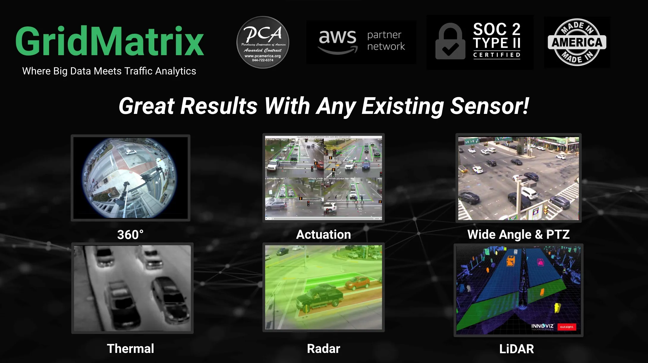
    GridMatrix maximises power of existing infrastructure

    GridMatrix’s breakthrough software platform for multimodal data collection and analytics is revolutionising transportation planning and decision making across the US. 

    Powered by artificial intelligence and combining the latest advances in cloud computing, machine learning and advanced sensing, GridMatrix’s platform is deployed in New York City on the world’s busiest bridges and tunnels, trusted by multiple state departments of transportation, and in a fast-growing number of American towns and cities. 

  • November 3, 2021
    Ouster Lidar aids German V2X plans 
    Researchers built 60 mobile measuring stations to be deployed across a 4.3km stretch
  • November 10, 2015
    User-based insurance joins the battle for big data
    User-based insurance is blazing a trail others would like to follow and is also discovering the challenges. The ITS sector needs to keep a very careful eye on the automotive industry: “There’s a war going on in the connected car space creating richer datasets than we ever imagined possible” says Paul Stacy, research and development director of Wunelli, part of the LexisNexis group. The car makers have gone way beyond infotainment, unlocking huge amounts of data in the process … facts and figures which the i
  • September 24, 2015
    Siemens launches radar-based parking space detection pilot
    As part of the City2.e 2.0 research project, Siemens is demonstrating a faster way to find kerbside parking in the Bundesallee in Berlin in cooperation with the Senate Department for Urban Development and the Environment in Berlin (SenStadtUm), the VMZ Berlin Betreibergesellschaft mbH, the Institute for Climate Protection, Energy and Mobility (IKEM), and the Robotics Innovation Center of the German Research Center for Artificial Intelligence (DFKI). Street lamps on a 200 metre long section of road betwee