Septentrio demos AV localisation tech

Septentrio provided GPS/global navigation satellite system (GNSS) technology for computer vision supplier Artisense’s Visual Inertial Navigation System (VINS).
October 11, 2019 Read time: 1 min


Septentrio says the GNSS technology provides centimetre-level positioning to the VINS system with the accuracy required for lane-level manoeuvring and vehicle to vehicle warning systems. Cameras and inertial sensors continue localisation as the vehicle moves into tunnels or parking garages with no line of sight to GNNS satellites, the company adds.

The VINS is expected to combine computer vision, inertial sensors and GNSS measurements to deliver 3D positioning and orientation information in any environment, even indoors.

Septentrio business development director Jan Van Hees says: “The result of our cooperation is precise localisation in any environment offering positioning reliability and redundancy needed for safety-critical applications such as autonomous vehicles or robotics.”

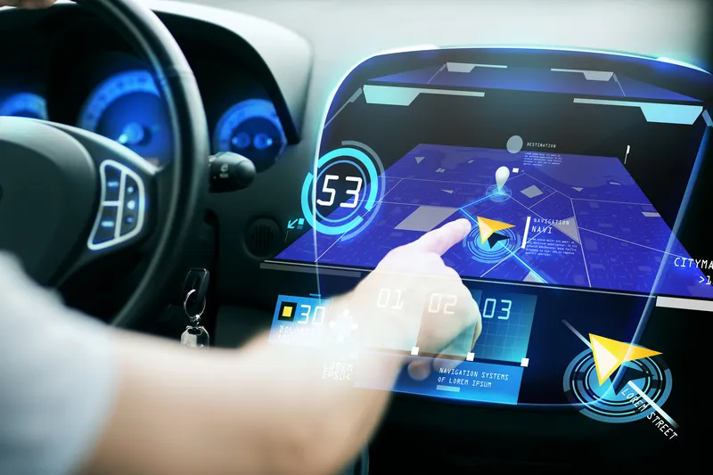
A demonstration at Auto.ai in Berlin offered rides around the German capital in a car featuring VINS technology. One screen inside the car continuously displayed its location as the system continued localisation in all locations including tunnels and parking garages. The second screen featured a real-time 3D point-cloud reconstruction of the car’s surroundings.

Related Content

  • July 6, 2016
    UK researchers developing 3D 'black box' technology for vehicles
    UK-based Roke Manor Research (Roke) has developed what it says is the world's first viable 3D 'black box' technology for vehicles, using a single dashboard camera. Fitted to an autonomous Toyota Prius, Roke demonstrated how data captured via vision processing technology could be used to provide a precise 3D reconstruction following a road incident. It's set to offer insurers, drivers and, in the case of autonomous vehicles, manufacturer’s independent evidence of what happened. Roke believes this will not
  • August 24, 2022
    Xona takes next step to expand
    Successful new funding round will accelerate satellite project for navigation technologies
  • January 5, 2017
    ZF and NVIDIA announce AI system for autonomous driving
    German auto supplier ZF is working with NVIDIA to develop artificial intelligence (AI) systems for the transportation industry, including automated and autonomous driving systems for passenger cars, commercial trucks, and industrial applications. Unveiled at CES 2017 in Las Vegas, the ZF ProAI for highway automated driving is ZF’s first system developed using NVIDIA AI technology. It aims to enable vehicles to better understand their environment by using deep learning to process sensor and camera data. I
  • February 23, 2017
    LiDAR sets its sights on future problems
    AAdvances in LiDAR are helping transport authorities improve services and identify potential problem areas, as geospatial technology expert Dr Neil Slatcher explains. The effects of climate change on the transport infrastructure have long been a cause of concern within the transportation sector - and not only on the structures themselves but also on the surrounding areas. This year, those concerns have become reality with landslides, structural collapses and surfacing issues impacting services across the wo