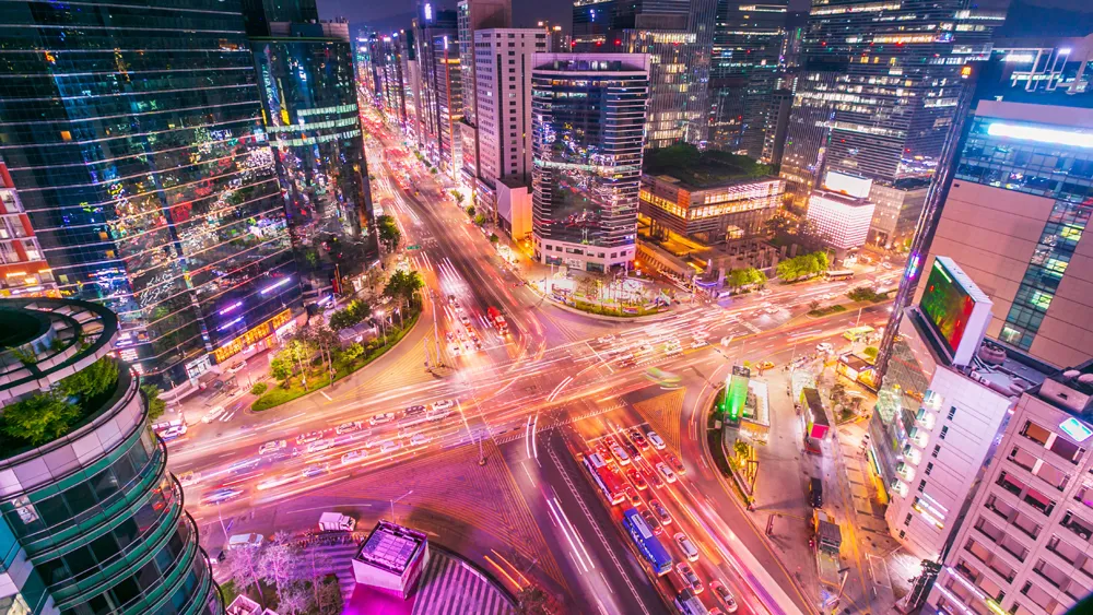
Following the warning by London Underground chiefs of tube strikes until lunchtime Wednesday 8 February, Waze, the real-time crowd-sourced sat nav app, issued data collected during the strike on 9 January to show, for the first time, just how badly London's commuters are affected by strike action.
According to Waze, on 9th January, data at the peak-time 8.05am showed that 24 per cent of traffic was bumper to bumper– effectively standstill; at this time on a normal day it is usually around 12 per cent. Th
Following the warning by London Underground chiefs of tube strikes until lunchtime Wednesday 8 February, 6897 Waze, the real-time crowd-sourced sat nav app, issued data collected during the strike on 9 January to show, for the first time, just how badly London's commuters are affected by strike action.
According to Waze, on 9th January, data at the peak-time 8.05am showed that 24 per cent of traffic was bumper to bumper– effectively standstill; at this time on a normal day it is usually around 12 per cent. There was also 34 per cent heavy traffic, so nearly 60 per cent of total traffic at crawling or worse. Trips took on average 1hr 12 minutes longer than usual to get from Uxbridge to East Acton when approaching city from the West.
Waze says the worst routes included Temple to Trafalgar Square (1 mile) which took 40 minutes (34 minutes more than usual). By comparison, this route should take 13 minutes to walk.
On Brecknock Road, Kentish Town, speed was down to 1mph, taking 33 minutes longer than usual to travel from Brecknock Road to Junction Road in North London.
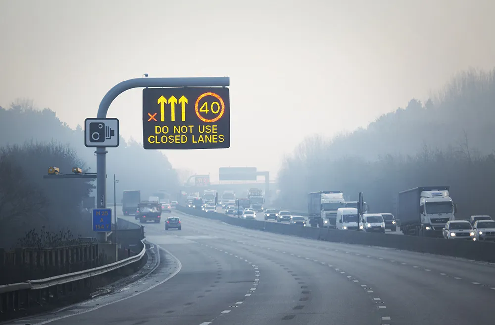
The M4 motorway near Chiswick was jammed, adding 25 minutes to the drive.
Many roads in central London were running slow, adding 20-35 minutes to travel under two miles.
During the evening rush hour period, follow up statistics at 5.30pm showed 25 per cent of London was at a standstill and 35 per cent of the capital was stuck in heavy traffic, travelling at under 5 mph.
According to Waze, on 9th January, data at the peak-time 8.05am showed that 24 per cent of traffic was bumper to bumper– effectively standstill; at this time on a normal day it is usually around 12 per cent. There was also 34 per cent heavy traffic, so nearly 60 per cent of total traffic at crawling or worse. Trips took on average 1hr 12 minutes longer than usual to get from Uxbridge to East Acton when approaching city from the West.
Waze says the worst routes included Temple to Trafalgar Square (1 mile) which took 40 minutes (34 minutes more than usual). By comparison, this route should take 13 minutes to walk.
On Brecknock Road, Kentish Town, speed was down to 1mph, taking 33 minutes longer than usual to travel from Brecknock Road to Junction Road in North London.
The M4 motorway near Chiswick was jammed, adding 25 minutes to the drive.
Many roads in central London were running slow, adding 20-35 minutes to travel under two miles.
During the evening rush hour period, follow up statistics at 5.30pm showed 25 per cent of London was at a standstill and 35 per cent of the capital was stuck in heavy traffic, travelling at under 5 mph.