Pitney Bowes partners with Inrix

Pitney Bowes has entered into a multi-year partnership with traffic information provider Inrix to deliver advanced location intelligence solutions through the company’s traffic intelligence platform. By integrating location capabilities with traffic analysis and delivering this information through Inrix’s mobile app, Inrix and Pitney Bowes will enhance the driving experience of today’s connected drivers, enabling them to make location-based decisions in real-time.
April 29, 2014 Read time: 2 mins
7736 Pitney Bowes has entered into a multi-year partnership with traffic information Provider 163 Inrix to deliver advanced location intelligence solutions through the company’s traffic intelligence platform.

By integrating location capabilities with traffic analysis and delivering this information through Inrix’s mobile app, Inrix and Pitney Bowes will enhance the driving experience of today’s connected drivers, enabling them to make location-based decisions in real-time.

Inrix has designed a traffic intelligence platform that uses Smart data and advanced analytics to solve transportation issues worldwide. The company uses a unique approach called “Smart crowd-sourcing” that analyses real-time traffic speed and incident data from a wide variety of public and private traffic sources ranging from road sensors and up-to-the-minute traffic speeds and community reports crowd-sourced from millions of vehicles and Mobile Devices throughout the day.

Pitney Bowes location intelligence solutions merge organisational data with location data. For Inrix, this technology compiles and correlates addresses with coordinates from a mobile device to establish real time location or a desired destination. Combining that with other data such as specific traffic flow, demographics and behaviour patterns provides users with advanced location search based on the data collected about user preferences, convenience, proximity and projected traffic patterns.

For more information on companies in this article

Related Content

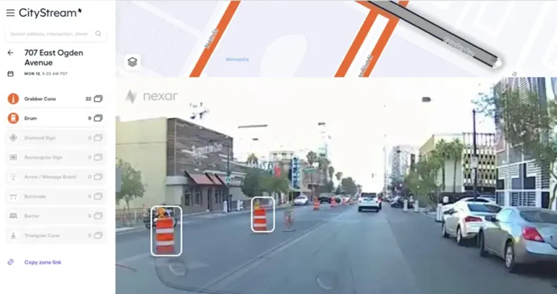
  • Nexar helps cities plan road improvements
    August 24, 2021
    Workzones generally unreported to mapping services, says Nexar
  • Smart technology keeps infrastructure operating safely
    August 30, 2013
    US Departments of Transportation (DOTs) are using smart technology to warn civil engineers when something is wrong with the infrastructure, says the American Association of State Highway and Transportation Association (AASHTO). Sensors installed on bridges, in roadways, and on maintenance vehicles are communicating real-time performance and weather data, allowing engineers to solve problems before they occur. "Most people look at a road or a bridge and never realise the technology that today's modern tra
  • Vaisala: Weather data is vital for connected vehicles
    August 26, 2016
    Vaisala’s Dr Kevin Petty explains why the weather will continue to play a big part in road safety and traffic management in the smart cities of the future. The world is becoming increasingly connected. Thanks to advances in information and communications technology, the cities we live in are becoming ‘smart’, with everything from education to law enforcement managed by integrated tech solutions in a bid to improve quality of life.
  • Kerb your enthusiasm, warns Passport
    March 4, 2019
    Dynamic kerbside management is crucial if urban authorities are to address increasingly chaotic situations caused by the gig economy and mobility innovation, says Adam Warnes at Passport Demand for the kerbside is growing and changing and it’s no surprise when you consider the recent innovations within the mobility industry. For starters, there are new modes of transport, including ride-shares, electric vehicles (EVs), dockless cycles, last-mile consolidations and autonomous vehicles (AVs). Secondly, the