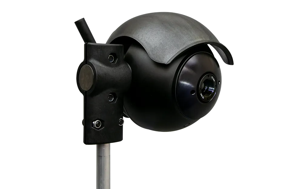
Panasonic Corporation has developed a drowsiness-control technology for detecting and predicting a person's level of drowsiness prior to driving. This technology, which can help prevent drowsy driving, detects a driver's shallow drowsiness at the initial state by accurately measuring his states without physical contact, including blinking features and facial expressions, captured by an in-vehicle camera and processing these signals using artificial intelligence. Using measurement data from the in-vehicle en
This technology, which can help prevent drowsy driving, detects a driver's shallow drowsiness at the initial state by accurately measuring his states without physical contact, including blinking features and facial expressions, captured by an in-vehicle camera and processing these signals using artificial intelligence.
Using measurement data from the in-vehicle environment, Panasonic's new technology predicts transitions in the driver's drowsiness level. The technology also combines thermal sensation monitoring function, allowing the driver to stay comfortably awake while driving.