National mapping agency Ordnance Survey (OS) has joined forces with
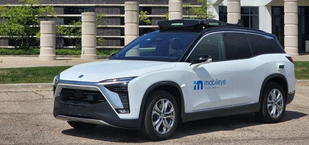
OS’ geospatial and technology resources will be paired with Mobileye’s automotive camera-based mapping capabilities to offer a location information service.
The partnership, unveiled at Consumer Electronics show 2019 in Las Vegas, also seeks to use the data to support the rollout of connected autonomous vehicles, intelligent mobility and 5G.
Neil Ackroyd, OS’ CEO, says: “We envisage this new rich data to be key to how vehicles, infrastructure, people and more will communicate in the digital age.”
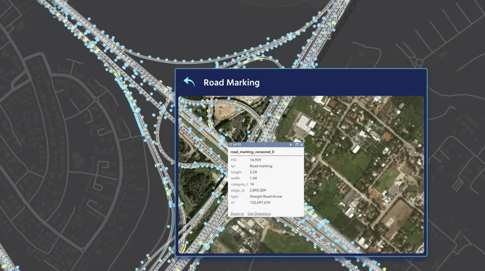
Using the Mobileye technology, vehicles will gather large volumes of location data on road networks and roadside infrastructure. This data – which includes lamp posts, manhole covers and road markings – is then cross-referenced with existing geospatial datasets to help develop maps of UK roads and surrounding infrastructure.
Prof. Amnon Shashua, president and CEO of Mobileye, says the maps will improve operations between businesses and cities and bring us closer to the realisation of smart cities and safer roads.
The data is expected to allow utility companies to maintain the precise location of assets of their assets on the ground.
In 2018, OS worked with data collected by Mobileye and integrated it into a geospatial database for the UK. In addition, a fleet of OS vehicles have been fitted with Mobileye 8 Connect to collect data on the country’s roads.
Ordnance Survey and Mobileye to deliver roadside infrastructure data in UK
National mapping agency Ordnance Survey (OS) has joined forces with Mobileye, an Intel company, to deliver high precision road network location data in the UK.
OS’ geospatial and technology resources will be paired with Mobileye’s automotive camera-based mapping capabilities to offer a location information service.
The partnership, unveiled at Consumer Electronics show 2019 in Las Vegas, also seeks to use the data to support the rollout of connected autonomous vehicles, intelligent mobility and 5G.