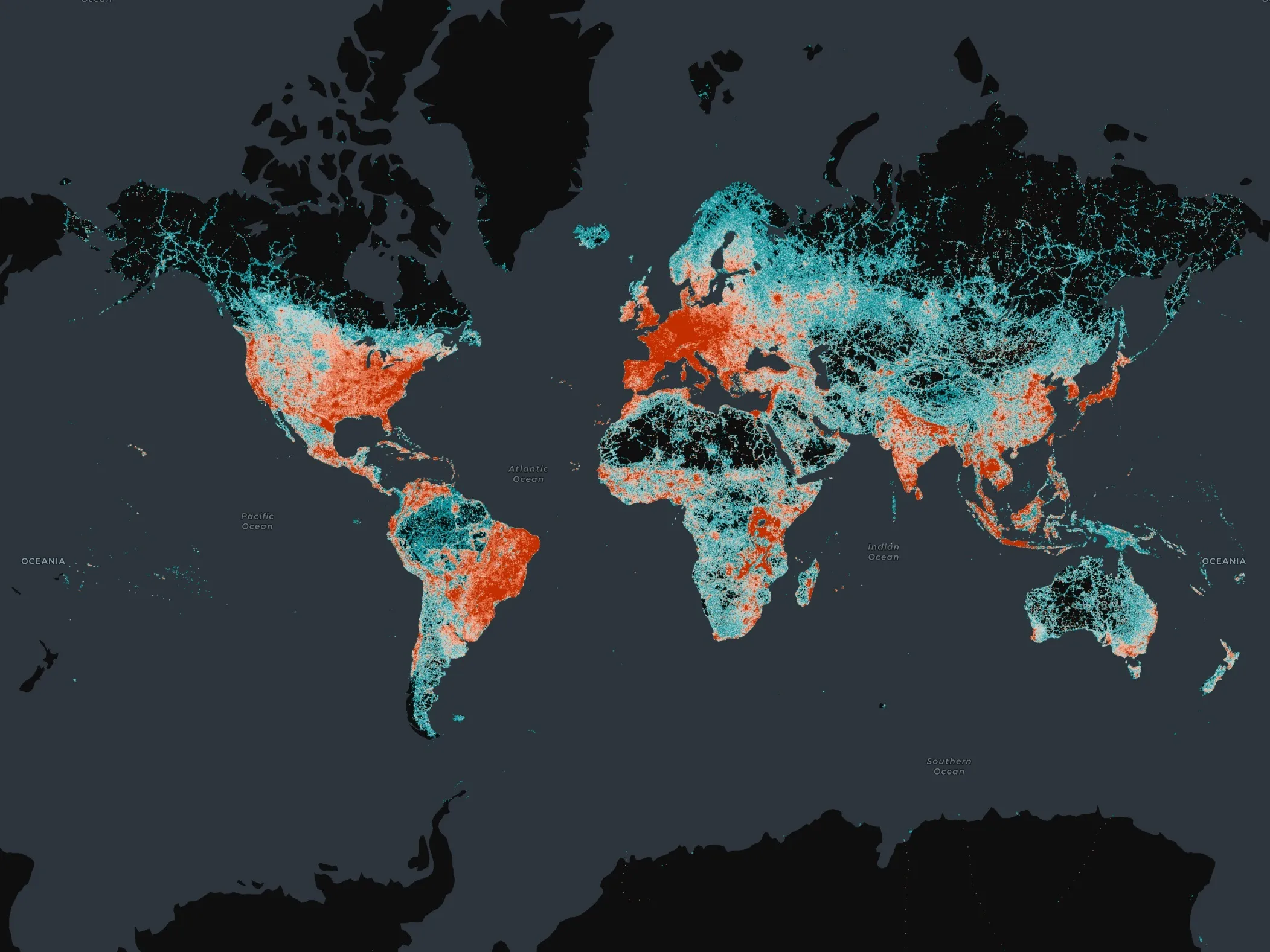
Nokia’s mapping subsidiary Navteq has announced its selection by the Library of Congress to provide map data for analysis and research within the Library of Congress' Congressional Cartography Programme (CCP). Established in 2002 to respond to congressional inquiries and requests for geospatial information regarding legislative issues, the CCP provides the United States Senate and House of Representatives with geospatial research and analysis in a presentation-ready format allowing Congress to make informed
May 18, 2012
Read time: 1 min
RSS183 Nokia’s mapping subsidiary 295 Navteq has announced its selection by the Library of Congress to provide map data for analysis and research within the Library of Congress' Congressional Cartography Programme (CCP).
Established in 2002 to respond to congressional inquiries and requests for geospatial information regarding legislative issues, the CCP provides the United States Senate and House of Representatives with geospatial research and analysis in a presentation-ready format allowing Congress to make informed decisions about the implementation of public policy.
Navteq map data includes geospatial vector data layers of important value to the Library of Congress including roads, cities, political boundaries, physical features, places, railroads, census boundaries, parks, schools, fire departments, police departments, and hospitals.


