Navteq powers Garmin devices In Romania

Navteq has been chosen by Garmin as map data supplier for Romania and . The Navteq map of Romania is now available not only on Garmin’s new nüvi 40 LM Romania but also as an optional download for existing Garmin portable devices. In Romania, Navteq says its map is built by a team of geographic analysts based in Bucharest and well placed to create and maintain local map coverage and to provide updated information throughout the year.
March 23, 2012 Read time: 1 min
295 Navteq has been chosen by 490 Garmin as map data supplier for Romania and .  The Navteq map of Romania is now available not only on Garmin’s new nüvi 40 LM Romania but also as an optional download for existing Garmin portable devices.

In Romania, Navteq says its map is built by a team of geographic analysts based in Bucharest and well placed to create and maintain local map coverage and to provide updated information throughout the year. Current Romanian coverage already reaches the whole population and includes over 161,500 kilometres of road network plus around 154,350 Points of Interest.

Related Content

  • July 18, 2012
    Plug and play approach unifies workzone ITS
    Caltrans District 7 is finalising a ConOps document which will detail a plug-and-play to work zone ITS operation. The organisation's Allen Z. Chen elaborates. Before August is out, on current planning, the California Department of Transportation (Caltrans) District 7 (which covers Los Angeles and Ventura Counties, with a combined population of close to 11 million people) intends to have finalised a Concept of Operations (ConOps) document dealing with Work Zone Transportation Management Systems (WZTMS). The
  • December 20, 2024
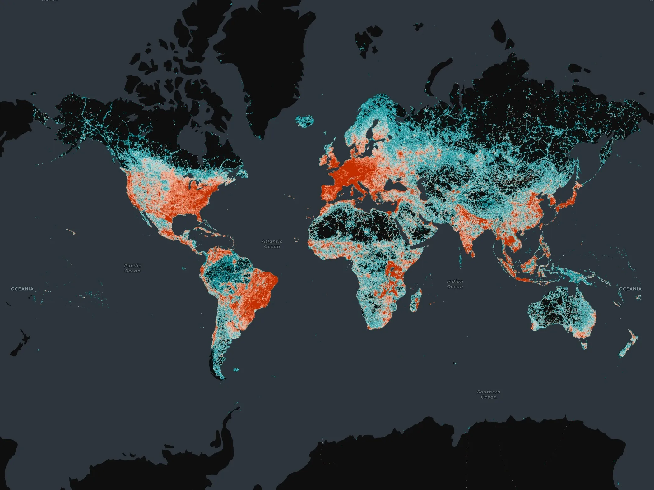
    Overture Maps releases its transportation dataset
    Open-map dataset includes 86 million kilometres of roads worldwide
  • May 18, 2012
    Nokia’s Navteq to provide map data and content to US Library of Congress
    Nokia’s mapping subsidiary Navteq has announced its selection by the Library of Congress to provide map data for analysis and research within the Library of Congress' Congressional Cartography Programme (CCP). Established in 2002 to respond to congressional inquiries and requests for geospatial information regarding legislative issues, the CCP provides the United States Senate and House of Representatives with geospatial research and analysis in a presentation-ready format allowing Congress to make informed
  • January 25, 2012
    Evolving technology - debating the future of the ITS industry
    Harry Voccola talks to ITS International about where he sees the intelligent transportation industry heading