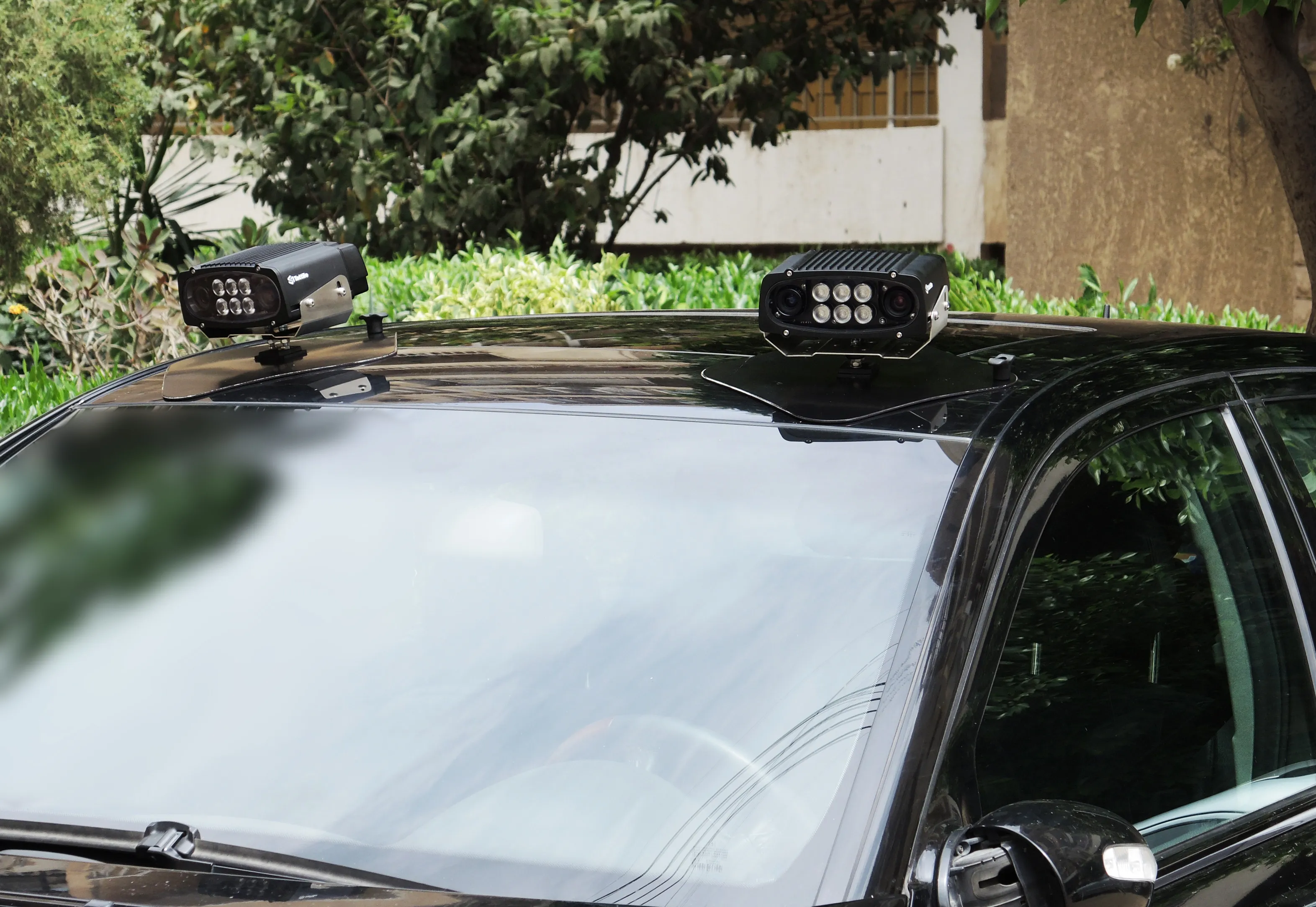
3D Laser Mapping’s new multi-platform mapping system, Robin, provides three alternative mapping options in one solution, allowing users to benefit from the ability to map areas via walking, driving or flying.
Robin integrates a 12 MP camera (for drive) and 18MP (for walk and fly), two GNSS antennas, GIS grade IMU navigation system, touch screen control unit, three mounting systems, capture software, a post-processing software package and has a field of view of 330 degrees. Long-range and precision versi
May 24, 2016
Read time: 1 min
3D Laser Mapping’s new multi-platform mapping system, Robin, provides three alternative mapping options in one solution, allowing users to benefit from the ability to map areas via walking, driving or flying.
Robin integrates a 12 MP camera (for drive) and 18MP (for walk and fly), two GNSS antennas, GIS grade IMU navigation system, touch screen control unit, three mounting systems, capture software, a post-processing software package and has a field of view of 330 degrees. Long-range and precision versions are also available.
According to Graham Hunter, executive chairman at 3D Laser Mapping, by covering a wide range of terrain, Robin allows high quality data capture from areas such as footpaths, forests and coastlines that are only accessible by foot.


