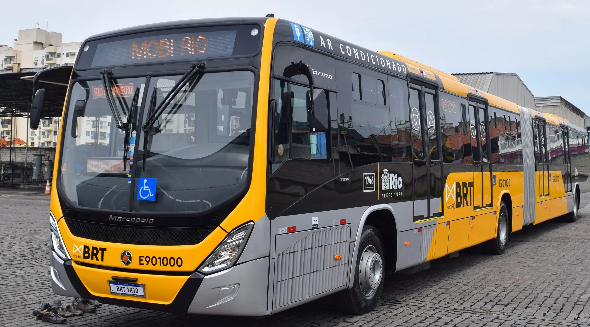
Bus passengers in Montreal will soon be able to plan their journey using real time information, making trip planning easier and reducing frustration over late buses. The Société de transport de Montréal (STM) has approved a US$93 million contract to equip its 1,900 buses with a system, called iBus, that monitors the location of buses using GPS and relays that data to users via the web and smartphones.
September 10, 2012
Read time: 2 mins
Bus passengers in Montreal will soon be able to plan their journey using real time information, making trip planning easier and reducing frustration over late buses.
The4335 Société de Transport de Montréal (STM) has approved a US$93 million contract to equip its 1,900 buses with a system, called iBus, that monitors the location of buses using GPS and relays that data to users via the web and smartphones.
Display screens and speakers will be installed on buses to announce the next stop. Screens featuring the time of upcoming buses will also be installed at busy bus stops and some metro stations.
511 INIT, a German firm with offices in Montreal, will supply and install the GPS technology, software, speakers and screens, as well as new two-way radio equipment for bus drivers. Installation is to begin in late 2014 and will take about two years to complete, said STM spokesperson Odile Paradis. The system will be phased in as installation progresses.
At the moment, the STM only provides scheduled bus times to passengers, via its website, smartphone apps and printed timetables. With iBus, “passengers will know, in real-time, when the bus will come,” Paradis said. “If there’s a schedule change, or if the bus is late because of a fire or some other reason, we can alert people.”
Many other cities, including Laval, have installed such systems to encourage people to use public transit by making trip-planning easier and reducing frustration over late buses.
The
Display screens and speakers will be installed on buses to announce the next stop. Screens featuring the time of upcoming buses will also be installed at busy bus stops and some metro stations.
At the moment, the STM only provides scheduled bus times to passengers, via its website, smartphone apps and printed timetables. With iBus, “passengers will know, in real-time, when the bus will come,” Paradis said. “If there’s a schedule change, or if the bus is late because of a fire or some other reason, we can alert people.”
Many other cities, including Laval, have installed such systems to encourage people to use public transit by making trip-planning easier and reducing frustration over late buses.


