Mobileye and Nissan are to collaborate on a project that aims to integrate Mobileye's new Road Experience Management (REM) technology into Nissan's fleets.
Mobileye REM technology will provide real-time data for precise localisation and high-definition lane data that form an important layer of information to support fully autonomous driving. The technology is based on software running on Mobileye's EyeQ processing platforms that extracts landmarks and roadway information at extremely low bandwidths, ap
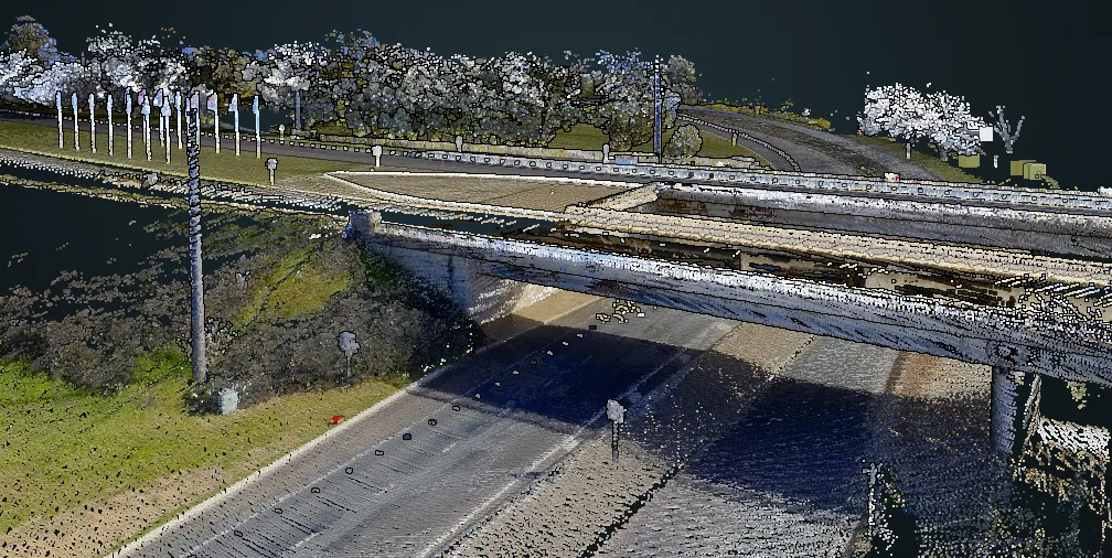
Mobileye REM technology will provide real-time data for precise localisation and high-definition lane data that form an important layer of information to support fully autonomous driving. The technology is based on software running on Mobileye's EyeQ processing platforms that extracts landmarks and roadway information at extremely low bandwidths, approximately 10kb per kilometre of driving.