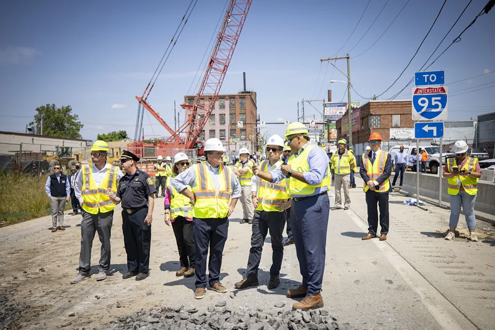
The Massachusetts Department of Transportation has entered a data-sharing partnership with Waze, the real-time traffic navigation app, to provide motorists with real-time traffic conditions across Massachusetts in a bid to ease traffic congestion.
Designed as a free, two-way data share of publicly available, crowd-sourced traffic information, the Connected Citizens Program promotes greater efficiency, deeper insights and safer roads for citizens of Massachusetts along with more than 70 other partners aro
The 7213 Massachusetts Department of Transportation has entered a data-sharing partnership with 6897 Waze, the real-time traffic navigation app, to provide motorists with real-time traffic conditions across Massachusetts in a bid to ease traffic congestion.
Designed as a free, two-way data share of publicly available, crowd-sourced traffic information, the Connected Citizens Program promotes greater efficiency, deeper insights and safer roads for citizens of Massachusetts along with more than 70 other partners around the world.
Under the program, Waze provides MassDOT with real-time, anonymous, Waze-generated incident and motorist slow-down information. In exchange, MassDOT provides real-time government-reported construction, crash and road closure data to Waze.
The Waze map evolves with every driver and data point it receives providing users with information about potential traffic delays, advanced notice of major traffic events and promotes safety.
The data-sharing partnership also allows MassDOT to compile historical data that can be used for future roadway planning and projects.
According to Waze, Boston has more than 709,000 monthly active users who drive a collective 277 million kilometres with Waze each month. These users actively report more than 1 million alerts like potholes, traffic and crashes each month.