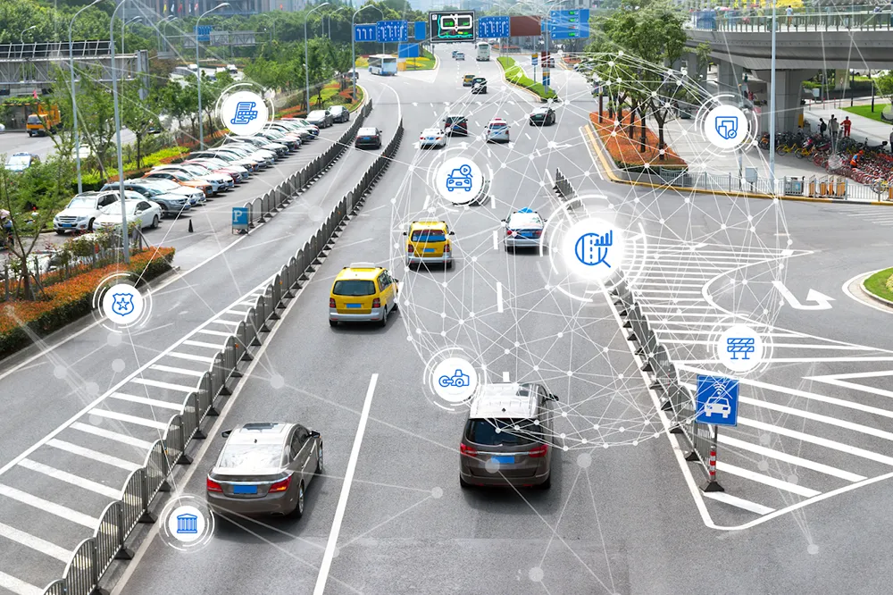
Situational awareness platform Live Earth has announced an agreement with connected car services provider
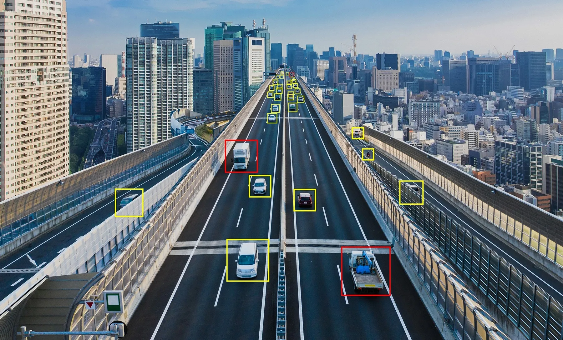
Managing complex transportation systems for a city, state or region requires monitoring a variety of live data feeds for public transit, weather, vehicle traffic, parking availability, live traffic information and more. Live Earth synchronises data from multiple systems on an interactive map and leverages Inrix traffic intelligence, parking services and traffic cameras to provide a single fused picture allowing organisations to understand quickly and act fast.
Live Earth synchronises multiple data streams, and provides instant replay to allow play, pause and rewind of various data layers on a map.
With Inrix, Live Earth now has access to the most robust driver network, including more than 300 million connected vehicles and devices, covering over five million miles of roads, ramps and interchanges. Combined with Live Earth’s geospatial display, the transportation industry now has a powerful tool to visualise all moving assets, changing road and traffic conditions and live video feeds across an entire city, state or region, say the two companies.
“With the swipe of your finger, you can now animate traffic congestion over multiple hours at multiple different playback speeds,” says Jeff Carpenter, CEO of Live Earth. “Synchronising multiple data feeds provides deep context and the ability to quickly and visually correlate events and congestion.”
“Live Earth’s platform enables Inrix data to be leveraged in ways never seen before,” said Kevin Foreman, general manager of GeoAnalytics at Inrix. “DOTs, cities, shipping and security companies can now effortlessly visualise hours of traffic congestion, instantly view live traffic cameras, quickly pinpoint trouble areas and act before situations become critical.”
Live Earth integrates Inrix traffic data with live transportation for enhanced situational awareness
Situational awareness platform Live Earth has announced an agreement with connected car services provider Inrix, with the aim of bringing real-time visualisation to the transportation industry.