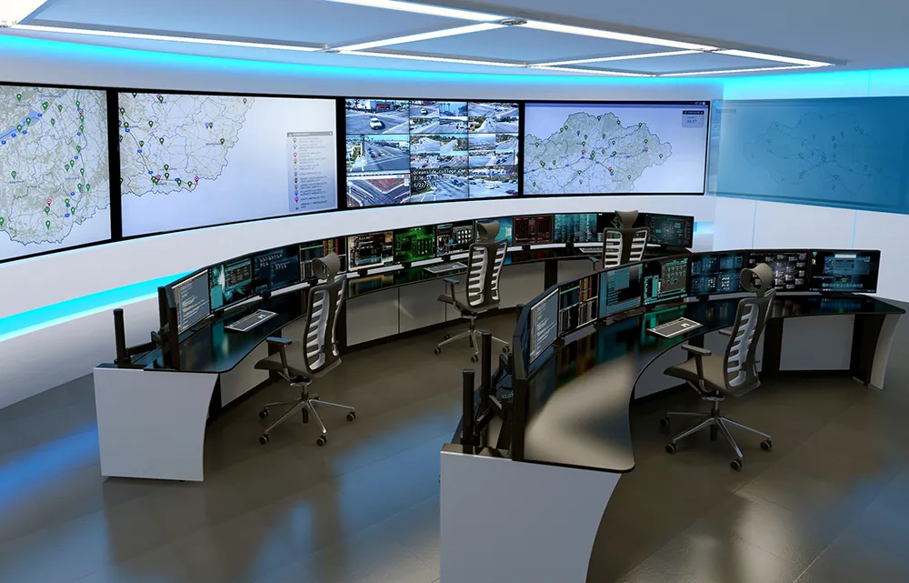
Live Earth integrates Inrix traffic data with live transportation for enhanced situational awareness

Situational awareness platform Live Earth has announced an agreement with connected car services provider Inrix, with the aim of bringing real-time visualisation to the transportation industry.
June 30, 2017 Read time: 2 mins

Situational awareness platform Live Earth has announced an agreement with connected car services provider 163 Inrix, with the aim of bringing real-time visualisation to the transportation industry.

Managing complex transportation systems for a city, state or region requires monitoring a variety of live data feeds for public transit, weather, vehicle traffic, parking availability, live traffic information and more. Live Earth synchronises data from multiple systems on an interactive map and leverages Inrix traffic intelligence, parking services and traffic cameras to provide a single fused picture allowing organisations to understand quickly and act fast.

Live Earth synchronises multiple data streams, and provides instant replay to allow play, pause and rewind of various data layers on a map.

With Inrix, Live Earth now has access to the most robust driver network, including more than 300 million connected vehicles and devices, covering over five million miles of roads, ramps and interchanges. Combined with Live Earth’s geospatial display, the transportation industry now has a powerful tool to visualise all moving assets, changing road and traffic conditions and live video feeds across an entire city, state or region, say the two companies.
“With the swipe of your finger, you can now animate traffic congestion over multiple hours at multiple different playback speeds,” says Jeff Carpenter, CEO of Live Earth. “Synchronising multiple data feeds provides deep context and the ability to quickly and visually correlate events and congestion.”

“Live Earth’s platform enables Inrix data to be leveraged in ways never seen before,” said Kevin Foreman, general manager of GeoAnalytics at Inrix. “DOTs, cities, shipping and security companies can now effortlessly visualise hours of traffic congestion, instantly view live traffic cameras, quickly pinpoint trouble areas and act before situations become critical.”

For more information on companies in this article

Related Content

  • Winsted: ‘Minimise distraction – maximise focus’
    June 13, 2022
    Traffic management is a physically and mentally demanding job – so select transportation control room furniture that provides bumper-to-bumper productivity, says Randy Smith of Winsted
  • Big data helps San Diego optimise public transit
    July 14, 2014
    San Diego Metropolitan Transit System (MTS) has turned to Cubic’s big data subsidiary Urban Insights to make better use of its data, according to a report in Information Week. The agency has disparate data sources, including a smart-card payment system, GPS-based automatic vehicle location devices on buses, automatic passenger counters on trolleys, and extensive route and schedule information formatted in the general transit feed specification (GTFS) format developed by Google in 2006. "We look at all
  • Esri and Mobileye offer real-time blind-spot detection data
    November 16, 2017
    Geographic information system specialist Esri is to collaborate with advanced driver-assistance systems software provider Mobileye in a venture aimed at improving safety for road users in urban environments. This will see Esri’s mapping, analysis and visualisation integrated with Mobileye’s Shield+ product. Shield+ will stream road safety data retrieved from city fleets into Esri’s ArcGIS platform meaning incidents of pedestrians and cyclists being detected in blindspots can be viewed on the Mobileye
  • GIS mapping smoothes ITS operations and increases efficiencies
    January 30, 2012
    Alexander Gerschenkron, the famous economic historian, once posited a benefit for those countries which come late to economic development: that they could introduce the latest technology and thus jump over some of the standard development paths followed by their predecessors . It is entirely possible to make the same observation of late-comers to ITS: that they can gain from the pains of those who went before and more easily implement best practice in ITS. As a consequence, it is entirely likely the Abu Dha