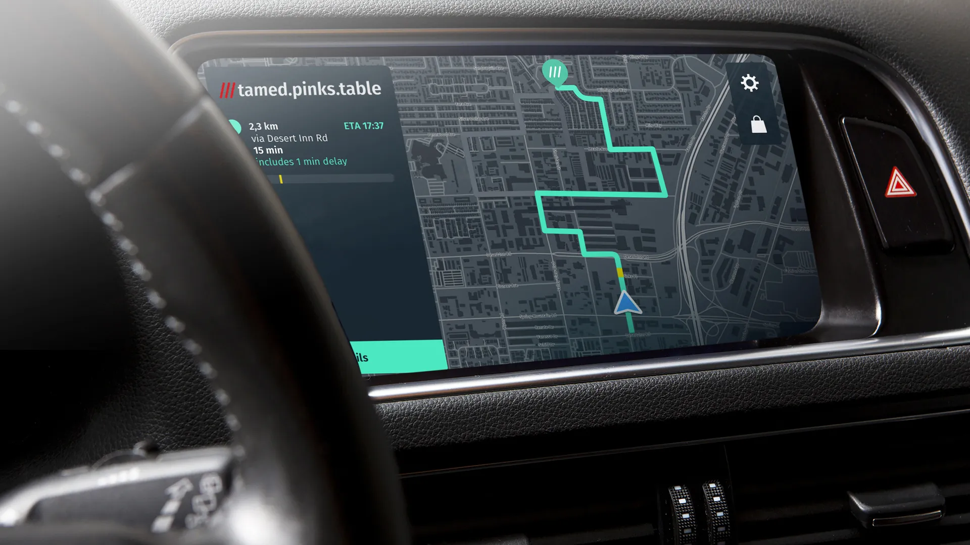
University of Leicester scientists will demonstrate a new application to help HGV drivers find safe routes in urban areas at a roadshow showcasing new technologies that aim to minimise traffic congestion, noise and air pollution.
On Wednesday 16 September, the University of Leicester will host the inaugural roadshow for SATURN (SATellite applications for URbaN mobility) where an innovative geo-information platform and four demonstrator solutions are set to be showcased.
The roadshow will then trav
September 15, 2015
Read time: 2 mins
University of Leicester scientists will demonstrate a new application to help HGV drivers find safe routes in urban areas at a roadshow showcasing new technologies that aim to minimise traffic congestion, noise and air pollution.
On Wednesday 16 September, the University of Leicester will host the inaugural roadshow for SATURN (SATellite applications for URbaN mobility) where an innovative geo-information platform and four demonstrator solutions are set to be showcased.
The roadshow will then travel across Europe, with stops in Toulouse, France, and Warsaw, Poland. It will culminate in Bordeaux, where SATURN partners will demonstrate the GEO Platform and the applications at the6456 ITS World Congress in October 2015.
The University of Leicester team will explain the functionalities and capabilities of their HGV router and positioning system to the local authorities of Leicester and Leicestershire at the event.
The team has already successfully demonstrated to the Bordeaux council the HGV route planner in a tablet capable of identifying the compliant and adequate routes as set by local authorities for lorry drivers and fleet managers. Based on data already collected from the council, and drawing from satellite and other geo-referenced technology, the team recorded a fictitious journey with a tall vehicle. By changing the vehicle properties – weight and height - the application was able to recalculate a suitable route, avoiding potential hazards and restrictions.
The event on 16 September is free but has limited spaces. To register, please click here.
On Wednesday 16 September, the University of Leicester will host the inaugural roadshow for SATURN (SATellite applications for URbaN mobility) where an innovative geo-information platform and four demonstrator solutions are set to be showcased.
The roadshow will then travel across Europe, with stops in Toulouse, France, and Warsaw, Poland. It will culminate in Bordeaux, where SATURN partners will demonstrate the GEO Platform and the applications at the
The University of Leicester team will explain the functionalities and capabilities of their HGV router and positioning system to the local authorities of Leicester and Leicestershire at the event.
The team has already successfully demonstrated to the Bordeaux council the HGV route planner in a tablet capable of identifying the compliant and adequate routes as set by local authorities for lorry drivers and fleet managers. Based on data already collected from the council, and drawing from satellite and other geo-referenced technology, the team recorded a fictitious journey with a tall vehicle. By changing the vehicle properties – weight and height - the application was able to recalculate a suitable route, avoiding potential hazards and restrictions.
The event on 16 September is free but has limited spaces. To register, please click here.


