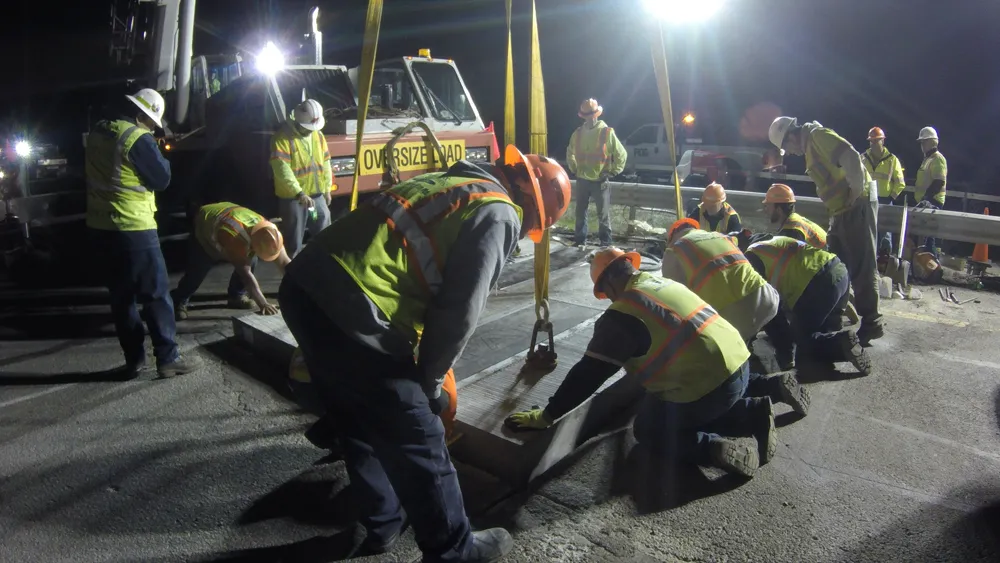
A joint venture in Japan will begin creating high-definition 3-D maps for self-driving cars in September as part of a government effort to have such vehicles on the road by 2020, when the Tokyo Summer Olympics will be held, reports Nikkei.
Mitsubishi Electric company Dynamic Map Planning, mapmaker Zenrin and nine Japanese auto makers will begin creating high definition 3D maps for self-driving cars, digitally charting the country's key expressways by driving a vehicle loaded with special surveying equipm
A joint venture in Japan will begin creating high-definition 3-D maps for self-driving cars in September as part of a government effort to have such vehicles on the road by 2020, when the Tokyo Summer Olympics will be held, reports Nikkei.
7874 Mitsubishi Electric company Dynamic Map Planning, mapmaker Zenrin and nine Japanese auto makers will begin creating high definition 3D maps for self-driving cars, digitally charting the country's key expressways by driving a vehicle loaded with special surveying equipment. The data will be processed using computers designed for the creation of maps, which will be provided to automakers that invest in the start-up.
As a first step, Tokyo-based Dynamic Map Planning, appointed by Japan’s Cabinet Office's Cross-ministerial Strategic Innovation Promotion Program, will make maps covering 300km of the country's main expressways.
Mitsubishi Electric has developed the high-precision surveying equipment that will be installed on the survey vehicle. GPS will track the location of the car on the map and sensors designed to detect the inclination of the car will measure the road grades, while lasers will co0llect data on the locations of road signs and traffic lights, as well as right- and left-turns and pedestrian crossings. Lines on the road, such as lanes, noise barriers and road signage, will be plotted on that image to faithfully re-create road conditions for 3-D maps.