Here open location platform integrated with Oracle Transportation Management

The new release of the Oracle Transportation Management Cloud now leverages the Here Open Location Platform in a new interface, increasing end-user productivity. One of the new functionalities enabled by Here allows for planners and dispatchers to visualise the logistics plan and to adjust shipments directly on a map, moving order releases to a shipment, adding or changing shipment stops, all with intuitive drag-and-drop functionality. Users can immediately visualise the impact of shipment decisions on logi
August 10, 2017 Read time: 1 min
The new release of the 5651 Oracle Transportation Management Cloud now leverages the 7643 Here Open Location Platform in a new interface, increasing end-user productivity. One of the new functionalities enabled by Here allows for planners and dispatchers to visualise the logistics plan and to adjust shipments directly on a map, moving order releases to a shipment, adding or changing shipment stops, all with intuitive drag-and-drop functionality. Users can immediately visualise the impact of shipment decisions on logistic plans, making more cost-effective decisions even for ad hoc changes.


Oracle Transportation Management Cloud supports all aspects of planning, execution and freight payment, allowing both shippers and logistics service providers to minimize cost, optimise service levels and create flexible business process automation within their global transportation and logistics networks.

For more information on companies in this article

Related Content

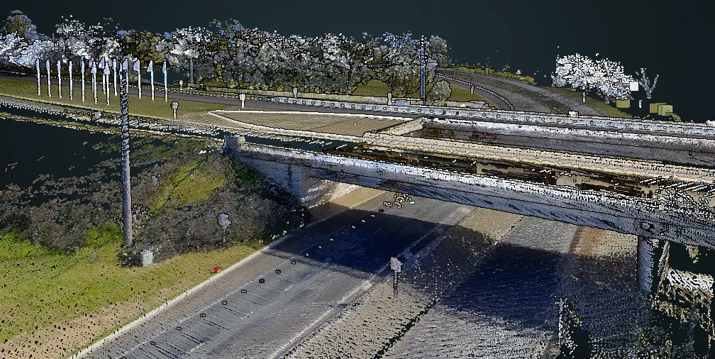
  • Browsing welcome in Here's Lidar library
    January 18, 2022
    Company says it hopes to decrease the costs associated with data collection surveys 
  • Michigan fosters real-world testing of workzone ITS
    September 19, 2017
    Turning a ‘problem’ into ‘an opportunity’ is the mantra of just about every business book and Michigan Department of Transportation (MDoT) looks set to achieve that aim in Oakland County, where 29km (18 miles) of the I-75 needs to be reconstructed. Running north-northwest from Detroit, the I-75 carries around 170,000 vehicles per day but, being built in the 1970s, it now requires an additional lane in each direction and upgrading to the latest design and safety standards. Upgrading will be carried out in
  • Improving the positional accuracy of GNSS road user charging
    July 23, 2012
    The European GINA project is intended to address and overcome many of the institutional, technical and public acceptance hurdles currently faced by satellite-based road user charging schemes. Dave Tindall and Denis Naberezhnykh, TRL, and Laure Dezes, ERF, write. Pay-as-you-drive Road User Charging (RUC), whereby demand (or congestion) is managed by applying appropriate tariffs in order to encourage drivers to make their journeys at less busy times, on less congested routes or even on different modes, could
  • Developments in travel information display systems
    August 1, 2012
    David Crawford looks at recent developments in travel information display systems. It is important to remember that we are investing in Real-Time Passenger Information [RTPI] to increase ridership," says Robert Burke, Managing Director of New Zealand transit tracking technology specialist Connexionz, which has been involved in at-stop and remote passenger information since 1995. "Superior information improves the perception of public transport reliability and gives the passenger more choices and greater con