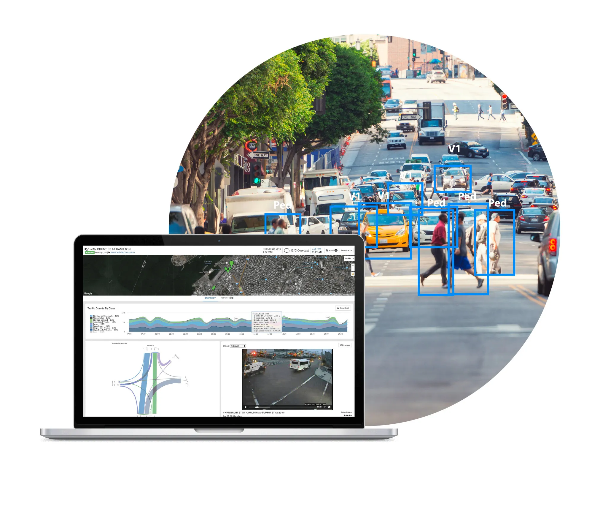
Finland’s Here is to provide its real-time traffic information to GIS mapping software specialist Esri, enabling the company to enhance its web and cloud location platform with more precise location data for intelligent routing with Here Traffic. Here’s traffic information will complement its map content, which Esri has been using for a decade, enabling Esri to provide a location-based analytics offering that will help businesses make more informed decisions. Fleet operators will be able to better manage pr
July 9, 2013
Read time: 2 mins
Finland’s Here is to provide its real-time traffic information to GIS mapping software specialist 50 ESRI, enabling the company to enhance its web and cloud location platform with more precise location data for intelligent routing with Here Traffic.
Here’s traffic information will complement its map content, which Esri has been using for a decade, enabling Esri to provide a location-based analytics offering that will help businesses make more informed decisions.
Fleet operators will be able to better manage problems as they occur in real time, re-routing fleets when traffic unexpectedly hits, and providing alerts when delays occur.
"For ten years, Esri and Here have had the shared goal of enhancing safety and increasing the efficiency of fleet operations by offering the most accurate transportation information on more roads than any other provider across the world," said Chris Cappelli, director of sales at Esri. "Launching real-time traffic from Here on Esri's platform for our ArcGIS Online and ArcGIS for Transportation Analytics software products will offer a deeper level of logistic and analytic capabilities for enterprise and government fleet companies."
"Dependable real-time traffic information is crucial to improving fleet operations strategy today and for the long-term," said Roy Kolstad, vice-president of Here’s US mobile, web and enterprise


