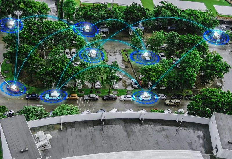
Catching the next airport bus is expected to be a lot simpler for Citybus’s Cityflyer airport bus passengers. The IT and network technology provider NEC Hong Kong recently developed a fleet management system (FMS) that uses GPS-based technology to monitor airport buses and predict their arrival times at upcoming bus stops. Available at Citybus’ web site and as a smartphone mobile app, the estimated time of arrival (ETA) service covers around 300 bus stops of all Citybus A routes and the accuracy of predicti
January 4, 2013
Read time: 2 mins
Catching the next airport bus is expected to be a lot simpler for Citybus’s Cityflyer airport bus passengers. The IT and network technology provider 1068 NEC Hong Kong recently developed a fleet management system (FMS) that uses GPS-based technology to monitor airport buses and predict their arrival times at upcoming bus stops.
Available at Citybus’ web site and as a smartphone mobile app, the estimated time of arrival (ETA) service covers around 300 bus stops of all Citybus A routes and the accuracy of prediction reaches over 90 per cent within plus or minus one minute, according to NEC.
"Though the concept is simple, achieving an accurate result proved to be technically challenging," said Elsa Wong, managing director of NEC Hong Kong. "Because of the density and height of buildings in the city, not to mention its vehicle tunnels, Hong Kong is a tough environment for GPS applications”.
Wong noted traditional fleet management systems are adequate for basic tasks such as route planning and monitoring, but they are unlikely to provide accurate prediction of arrival times at a given location.
According to Wong, the FMS is supported by a set of algorithms for calculating arrival times using real-time data from the bus itself, observations of actual traffic conditions and speed along the route, and historical averages for different sets of variables. These enable Citybus to make accurate ETA predictions even when the bus itself is not visible to GPS, either because it is shadowed by buildings or passing through a tunnel."
"NEC's intelligent FMS has the potential to revolutionise the way people use this mode of transport," said Wong. "It takes the guesswork out of journey planning. Passengers can use their mobile phones not only to find the most convenient route, but to check frequencies and see when the next bus is due. This gives them more flexibility when they are planning journeys. It helps them decide when they need to leave home or the office."


