Fujitsu launches new location data service

Fujitsu has announced the July launch of a cloud service that employs location data gathered from vehicles and a variety of sensors and which the company is calling Spatiowl. It consists of two different service types: platform-provisioning service and task-oriented services.
April 23, 2012 Read time: 2 mins
5163 Fujitsu has announced the July launch of a cloud service that employs location data gathered from vehicles and a variety of sensors and which the company is calling Spatiowl. It consists of two different service types: platform-provisioning service and task-oriented services.

The platform-provisioning service uses probe data collected from moving vehicles and vast amounts of location data gathered from various sensors. This diverse assortment of data is analysed in real-time and delivered through cloud computing as a functional group that is linked with external data. Fujitsu claims this enables, for instance, corporate and other group customers to develop unique services that employ location-based data to create new value, such as those for reporting traffic information in real-time, those that facilitate urban planning, and the delivery of new services to local residents.

The task-oriented services will be offered in a menu of immediately available services that include traffic information and routing support services for commercial vehicles. In the future, Fujitsu says it intends to expand this services menu, while at the same time offering services that are even more accurate due to an increase in the amount of data collected.

For more information on companies in this article

Related Content

  • The future? It's remote, says Valerann
    January 4, 2024
    More responsive traffic management is of enormous value – and Valerann thinks its SaaS system, remotely deployed in Latin America, is able to identify incidents much more quickly, finds Andrew Stone
  • Bluetooth and Wi-Fi offer new options for travel time measurements
    November 20, 2013
    New trials show Bluetooth and Wi-Fi signals can be reliably used for measuring travel times and at a lower cost than an ANPR system, but which is the better proposition depends on many factors. Measuring travel times has traditionally relied automatic number plate (or licence plate) recognition (ANPR/ALPR) cameras capturing the progress of vehicles travelling along a pre-defined route. Such systems also have the benefit of being able to count passing traffic and have become a vital tool in dealing with c
  • Traffic management is increasingly image conscious
    January 27, 2025
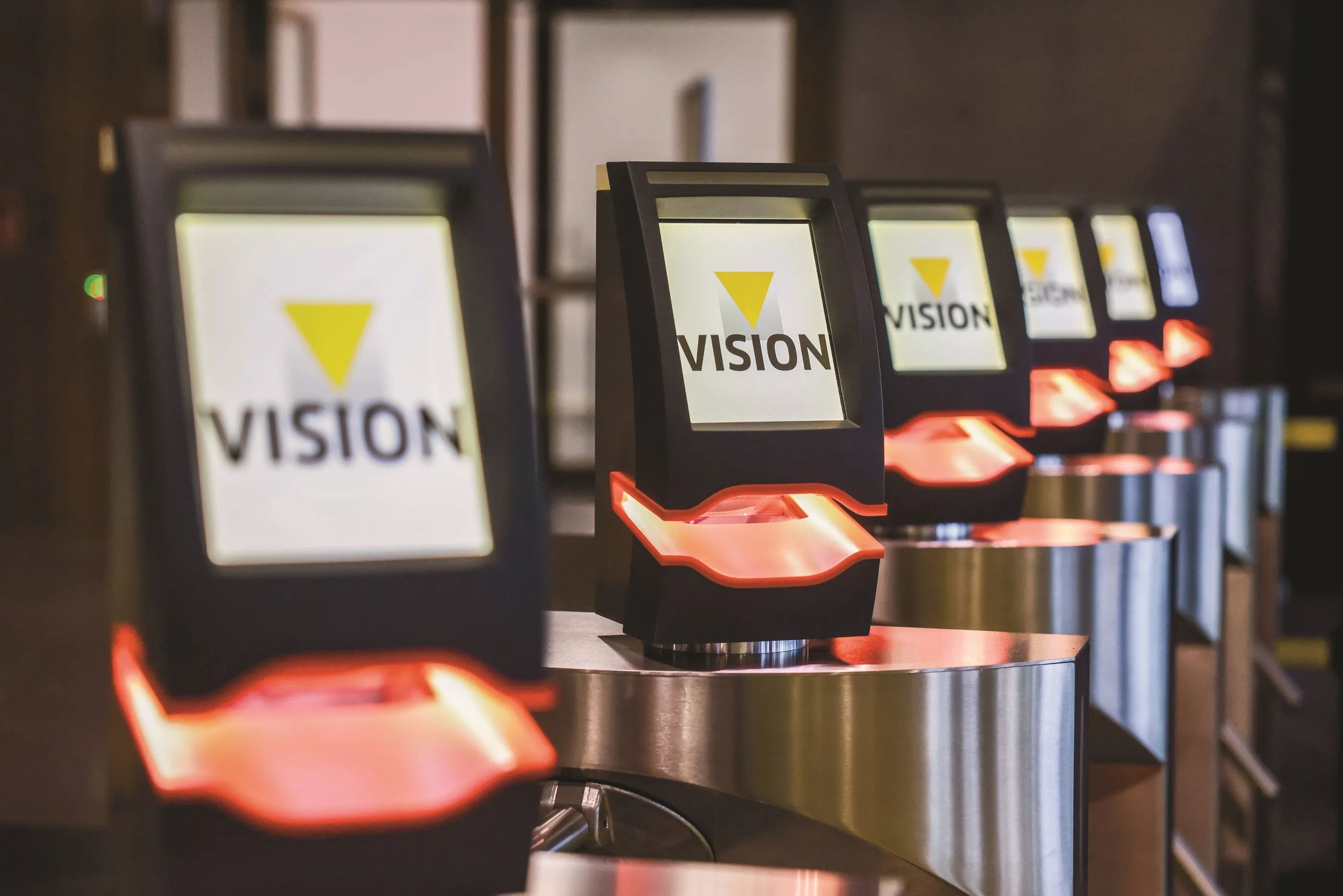
    At the Vision show in Stuttgart, Germany, a wide variety of traffic-related solutions were on display. Adam Hill takes the temperature of the industry…
  • Big data and open governments ‘will spur developments in smart cities’
    March 23, 2015
    Smart cities are going to be amazing community hubs that will be more sustainable, efficient and supportive of citizens, according to a new report, Australia - Smart Cities - People, Transport, Cars, Buildings from reportbuyer.com. The concept of smart communities is based on intelligent infrastructure such as broadband (FttP) and smart grids, so that connected and sustainable communities can be developed. However, they cannot be built within the silo structure that currently dominates our thinking; a holis