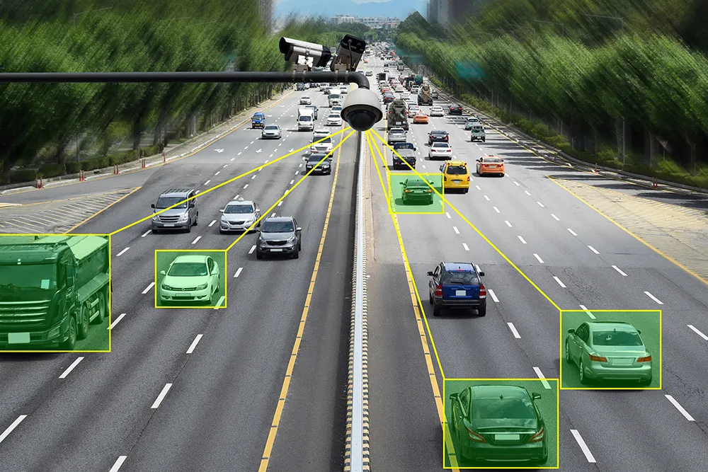
Fujitsu has announced the July launch of a cloud service that employs location data gathered from vehicles and a variety of sensors and which the company is calling Spatiowl. It consists of two different service types: platform-provisioning service and task-oriented services.
The platform-provisioning service uses probe data collected from moving vehicles and vast amounts of location data gathered from various sensors. This diverse assortment of data is analysed in real-time and delivered through cloud computing as a functional group that is linked with external data. Fujitsu claims this enables, for instance, corporate and other group customers to develop unique services that employ location-based data to create new value, such as those for reporting traffic information in real-time, those that facilitate urban planning, and the delivery of new services to local residents.
The task-oriented services will be offered in a menu of immediately available services that include traffic information and routing support services for commercial vehicles. In the future, Fujitsu says it intends to expand this services menu, while at the same time offering services that are even more accurate due to an increase in the amount of data collected.