
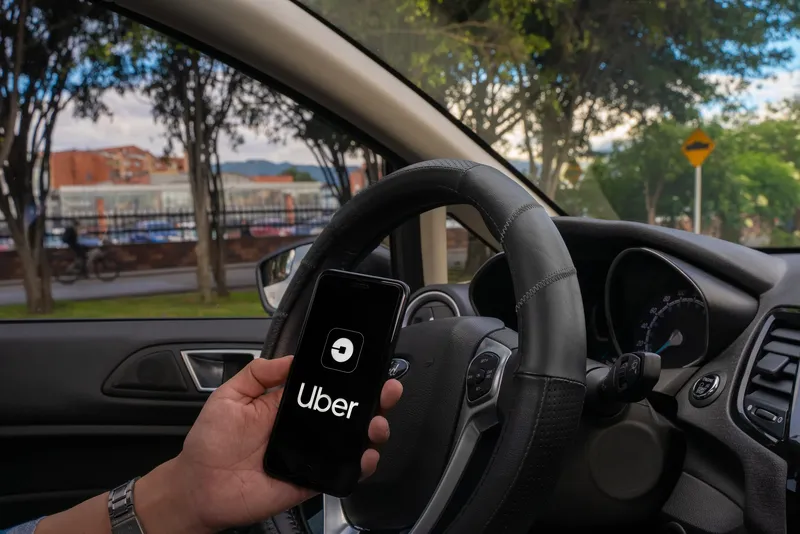
Ford partners with What3words to offer precise navigation

Ford has joined forces with geocoding start-up What3words to offer its drivers in North America and Europe with more precise navigation. What3words, a global addressing system, divides the world into a grid of 3m x 3m squares and assigns each a three-word address made up dictionary words. Ford says its drivers will be able to enter destinations by voice or text for any location, including destinations without an address. Ford drivers will be able to connect the company’s SYNC 3 infotainment plat
February 27, 2019 Read time: 2 mins
278 Ford has joined forces with geocoding start-up What3words to offer its drivers in North America and Europe with more precise navigation.


What3words, a global addressing system, divides the world into a grid of 3m x 3m squares and assigns each a three-word address made up dictionary words.

Ford says its drivers will be able to enter destinations by voice or text for any location, including destinations without an address.  

Ford drivers will be able to connect the company’s SYNC 3 infotainment platform with the Whats3words app, available on iOS and Android devices. They can then input a three word address to navigate to a precise 3m x 3m square.

Don Butler, executive director, connected vehicle platform and product, at Ford, says the solution can be used by commercial vehicle drivers working from a mobile office and those driving for leisure.

What3words is available for Ford drivers in the UK, Ireland, Germany, Spain, the US and Mexico. More locations are expected to follow later this year.

Related Content

  • April 29, 2014
    Pitney Bowes partners with Inrix
    Pitney Bowes has entered into a multi-year partnership with traffic information provider Inrix to deliver advanced location intelligence solutions through the company’s traffic intelligence platform. By integrating location capabilities with traffic analysis and delivering this information through Inrix’s mobile app, Inrix and Pitney Bowes will enhance the driving experience of today’s connected drivers, enabling them to make location-based decisions in real-time.
  • December 5, 2013
    Terrestrial solution to stellar shortcomings
    Inherent weaknesses in satellite communications are leading several countries to re-evaluate terrestrial-based backup systems. There is a tale frequently told in satellite navigation circles, of how landing systems at Newark Airport were disrupted by a truck driver using GPS jamming equipment as he drove along the New Jersey Turnpike. While there was no threat to flight safety as the interference to GPS reference stations being tested, the story highlights how apparently benign threats have the potential t
  • January 8, 2024
    CES 2024: Uber is going Here for ride-share & food delivery
    Here Technologies will provide Uber with further location datasets to improve accuracy
  • June 29, 2021
    Can AV mapping rely on crowds?
    Mapping tech companies need to expand their data inputs beyond crowdsourcing in order to maintain temporally accurate maps at scale, says Ro Gupta at Carmera