Starting today, the European Satellite Navigation Competition 2011 will once again welcome companies, start-ups, research institutions, universities, and even individuals all over the world to submit their innovative ideas in the field of satellite navigation. The overall winner, the Galileo Master, will be chosen from the winners of more than 20 regions, and will receive a €20,000 prize and the opportunity to realise their project during a six-month incubation programme.
Starting today, the European Satellite Navigation Competition 2011 will once again welcome companies, start-ups, research institutions, universities, and even individuals all over the world to submit their innovative ideas in the field of satellite navigation. The overall winner, the Galileo Master, will be chosen from the winners of more than 20 regions, and will receive a €20,000 prize and the opportunity to realise their project during a six-month incubation programme.
"Keeping an idea in your head doesn't get you anywhere", says Thorsten Rudolph, managing director of5568 Anwendungszentrum GmbH Oberpfaffenhofen, which organises the ESNC. "Through this competition, participants can realise their ideas and establish valuable business relationships."
Until 30 June, participants can enter their ideas at www.galileo-masters.eu.
This year, they will benefit from a new database that makes the submission process easier. The same applies to the international experts who evaluate the ideas: For the first time, they will be able to access and evaluate the entered ideas directly via the database.
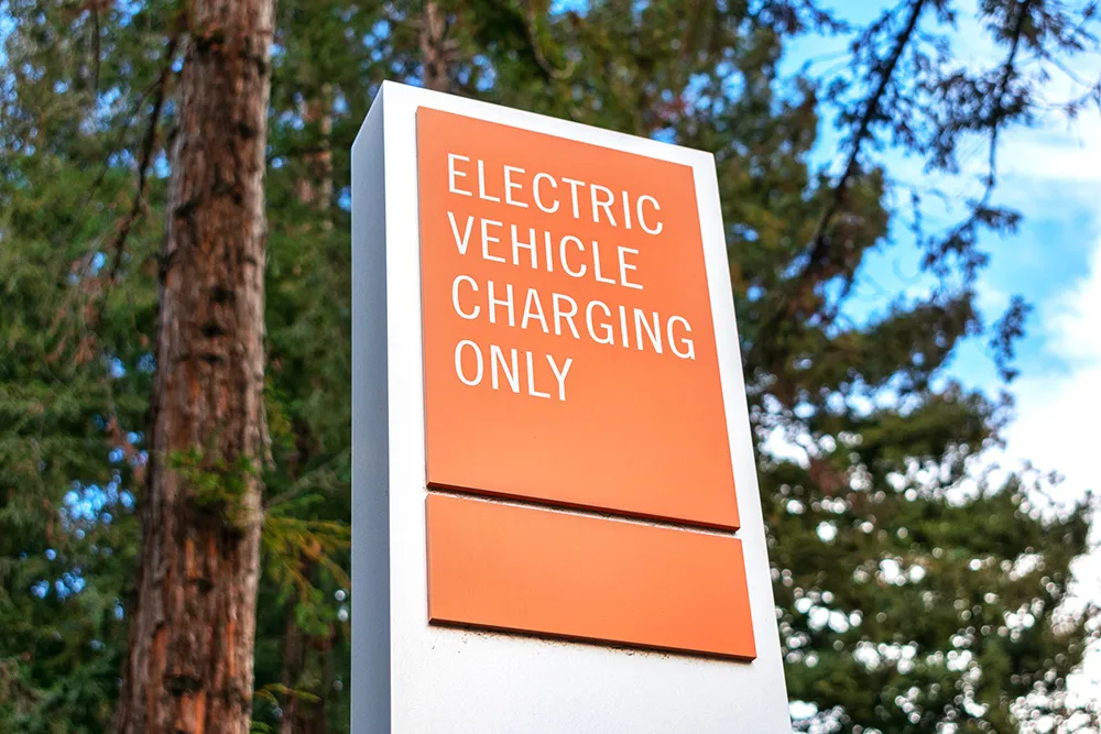
When the competition was first launched in 2004 under the patronage of the Bavarian State Ministry for Economics, Infrastructure, Transport and Technology, only 14 ideas were entered in three partner regions. Last year, 548 participants registered. The variety of the entered ideas has been enormous in past years, reflecting the versatility of the application areas in satellite navigation and their increasing importance in everyday life. GNSS-based technology is being used in sectors ranging from logistics, traffic, and transport to agriculture, communications, security, healthcare, and beyond.
"Keeping an idea in your head doesn't get you anywhere", says Thorsten Rudolph, managing director of
Until 30 June, participants can enter their ideas at www.galileo-masters.eu.
This year, they will benefit from a new database that makes the submission process easier. The same applies to the international experts who evaluate the ideas: For the first time, they will be able to access and evaluate the entered ideas directly via the database.
When the competition was first launched in 2004 under the patronage of the Bavarian State Ministry for Economics, Infrastructure, Transport and Technology, only 14 ideas were entered in three partner regions. Last year, 548 participants registered. The variety of the entered ideas has been enormous in past years, reflecting the versatility of the application areas in satellite navigation and their increasing importance in everyday life. GNSS-based technology is being used in sectors ranging from logistics, traffic, and transport to agriculture, communications, security, healthcare, and beyond.