Esri and Microsoft in strategic alliance on disaster maps and applications

Esri has announced a strategic alliance with Microsoft to assist public and private agencies and communities around the world during disasters. Microsoft will display Esri public information maps on its cloud-based disaster response incident portal, as well as point citizens to the maps via its online outlets, such as MSN and Bing. Esri's ArcGIS integration within a number of Microsoft's disaster response management solutions will provide governments and leading aid organisations with a more comprehensive s
August 2, 2012 Read time: 2 mins
50 ESRI has announced a strategic alliance with 2214 Microsoft to assist public and private agencies and communities around the world during disasters. Microsoft will display Esri public information maps on its cloud-based disaster response incident portal, as well as point citizens to the maps via its online outlets, such as MSN and Bing. Esri's ArcGIS integration within a number of Microsoft's disaster response management solutions will provide governments and leading aid organisations with a more comprehensive set of tools to address key challenges.

"This alliance leverages the strengths of both companies,” says Russ Johnson, global director of disaster response for Esri. “The first phase involves using our technologies to support affected organisations and provide public information faster and in a more intuitive web map format during crises."

"The ability to include Esri intelligent, interactive web maps with Microsoft's suite of disaster response offerings increases our ability to assist government agencies and private citizens," says Harmony Mabrey, senior operations manager, Microsoft Disaster Response. "Both responders and citizens will have access to a more detailed level of knowledge about the impacts of a disaster, enabling them to make more informed decisions."

For more information on companies in this article

Related Content

  • Six easy steps to security
    October 22, 2018
    As security threats become increasingly vast and varied, multinationals are beginning to see the need for an effective global security operations centre to protect their organisation. James I. Chong spells out what is required. You know you need a global security operations centre (GSOC) to support what you’ve built, identify threats, and prevent disasters before they happen - but how do you know if it’s truly effective? There’s no shortage of information coming into operation centres. Too often, it’s the
  • Taking video surveillance, access control and licence plate recognition to the cloud
    November 15, 2012
    Video surveillance, access control and licence plate recognition could soon be available to a broader user base. Montreal-headquartered security industry and IP solutions provider Genetec has entered into a strategic multi-year alliance with Microsoft to develop powerful Windows Azure-based hosted security solutions including video surveillance, access control and licence plate recognition (LPR) as a service. The new cloud-based security solutions will be built on Microsoft's Windows Azure cloud-computing
  • TomTom and Esri fusion transform urban mobility
    April 28, 2025

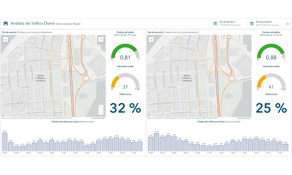
    A collaboration between TomTom and Esri will take centre stage at the upcoming Congress with a session titled "Driving Insights: Unlocking the Power of TomTom Historic Traffic Data in ArcGIS.” Led by industry experts Frans Keijzer from TomTom and Jaime Nieves from Esri Spain, this presentation will showcase how integrating TomTom's historical traffic data with the ArcGIS platform has transformed urban mobility in Gran Canaria, Spain.

  • Overture Maps releases its transportation dataset
    December 20, 2024
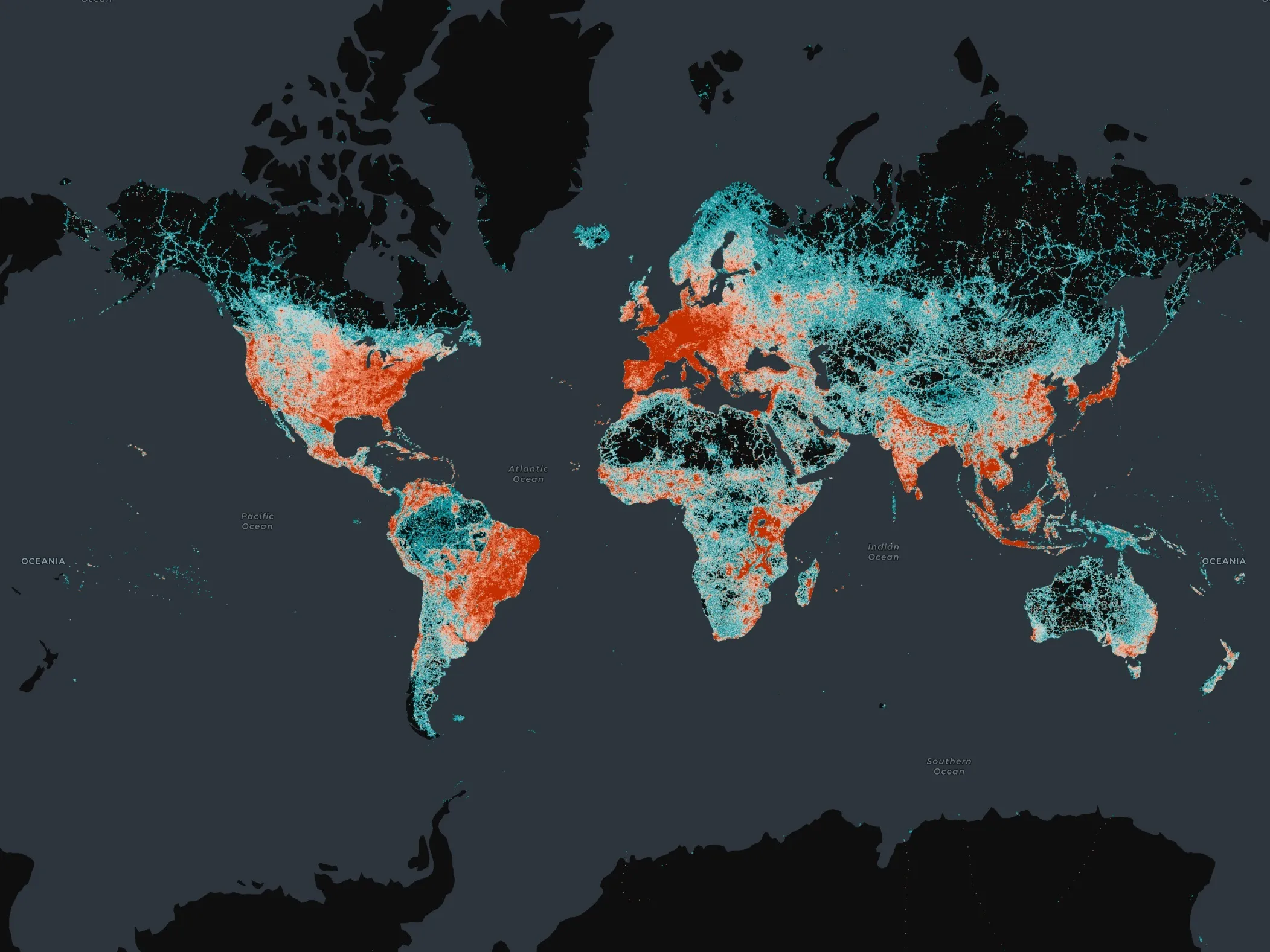
    Open-map dataset includes 86 million kilometres of roads worldwide