Esri and Microsoft in strategic alliance on disaster maps and applications

Esri has announced a strategic alliance with Microsoft to assist public and private agencies and communities around the world during disasters. Microsoft will display Esri public information maps on its cloud-based disaster response incident portal, as well as point citizens to the maps via its online outlets, such as MSN and Bing. Esri's ArcGIS integration within a number of Microsoft's disaster response management solutions will provide governments and leading aid organisations with a more comprehensive s
August 2, 2012 Read time: 2 mins
50 ESRI has announced a strategic alliance with 2214 Microsoft to assist public and private agencies and communities around the world during disasters. Microsoft will display Esri public information maps on its cloud-based disaster response incident portal, as well as point citizens to the maps via its online outlets, such as MSN and Bing. Esri's ArcGIS integration within a number of Microsoft's disaster response management solutions will provide governments and leading aid organisations with a more comprehensive set of tools to address key challenges.

"This alliance leverages the strengths of both companies,” says Russ Johnson, global director of disaster response for Esri. “The first phase involves using our technologies to support affected organisations and provide public information faster and in a more intuitive web map format during crises."

"The ability to include Esri intelligent, interactive web maps with Microsoft's suite of disaster response offerings increases our ability to assist government agencies and private citizens," says Harmony Mabrey, senior operations manager, Microsoft Disaster Response. "Both responders and citizens will have access to a more detailed level of knowledge about the impacts of a disaster, enabling them to make more informed decisions."

Related Content

  • October 6, 2020
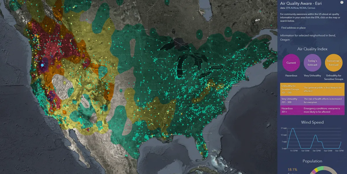
    Esri exposes US air pollution impact
    App uses data from AirNow programme, American Community Survey and NOAA wind forecast 
  • July 15, 2013
    Auckland upgrades transport services
    To cater to the needs of the growing population of the city of Auckland, New Zealand, Auckland Transport has adopted technology solutions from Microsoft’s new initiative, CityNext to upgrade the city’s transportation services and core infrastructure. CityNext offers cities a broad portfolio of technology solutions such as business software, devices and apps, cloud solutions, and big data platforms, from Microsoft and its partners to help city governments overcome urbanisation and governance challenges in ar
  • May 21, 2012
    Professional training key to the future of ITS
    A substantial portfolio of resources is available and expanding, to help employers and professionals build essential skills for current and future needs – the ITS Professional Capacity Building Program. Pete Goldin reports. The US Department of Transportation (USDOT) views ITS as key to the future of transportation, as is evident from the department’s ITS Professional Capacity Building (PCB) program. This is a further manifestation of USDOT’s commitment to ITS. The PCB program provides anyone in the transpo
  • January 30, 2012
    GIS mapping smoothes ITS operations and increases efficiencies
    Alexander Gerschenkron, the famous economic historian, once posited a benefit for those countries which come late to economic development: that they could introduce the latest technology and thus jump over some of the standard development paths followed by their predecessors . It is entirely possible to make the same observation of late-comers to ITS: that they can gain from the pains of those who went before and more easily implement best practice in ITS. As a consequence, it is entirely likely the Abu Dha