Esri and Microsoft in strategic alliance on disaster maps and applications

Esri has announced a strategic alliance with Microsoft to assist public and private agencies and communities around the world during disasters. Microsoft will display Esri public information maps on its cloud-based disaster response incident portal, as well as point citizens to the maps via its online outlets, such as MSN and Bing. Esri's ArcGIS integration within a number of Microsoft's disaster response management solutions will provide governments and leading aid organisations with a more comprehensive s
August 2, 2012 Read time: 2 mins
50 ESRI has announced a strategic alliance with 2214 Microsoft to assist public and private agencies and communities around the world during disasters. Microsoft will display Esri public information maps on its cloud-based disaster response incident portal, as well as point citizens to the maps via its online outlets, such as MSN and Bing. Esri's ArcGIS integration within a number of Microsoft's disaster response management solutions will provide governments and leading aid organisations with a more comprehensive set of tools to address key challenges.

"This alliance leverages the strengths of both companies,” says Russ Johnson, global director of disaster response for Esri. “The first phase involves using our technologies to support affected organisations and provide public information faster and in a more intuitive web map format during crises."

"The ability to include Esri intelligent, interactive web maps with Microsoft's suite of disaster response offerings increases our ability to assist government agencies and private citizens," says Harmony Mabrey, senior operations manager, Microsoft Disaster Response. "Both responders and citizens will have access to a more detailed level of knowledge about the impacts of a disaster, enabling them to make more informed decisions."

Related Content

  • September 7, 2020
    Esri highlights benefits of a state-wide data-rich environment
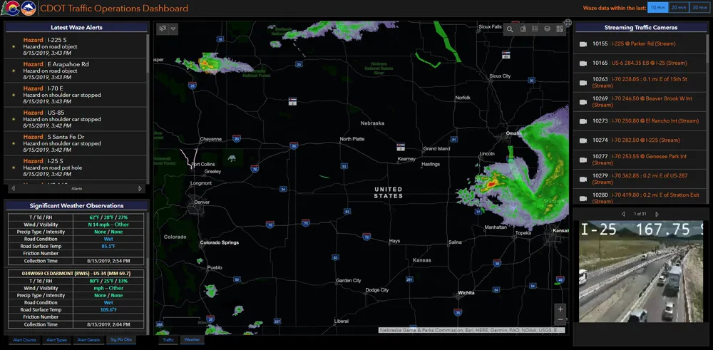
    Walk into virtually any traffic operations centre and you will be confronted by people flipping between different screens and CCTV monitors, and individually viewing a large number of stand-alone applications to try to understand a comprehensive picture of their live traffic, weather, incident, and snow conditions from these disparate sources.
  • April 12, 2013
    Connected vehicles - potential to transform US transportation
    There’s a new face in the driving seat at the US Department of Transport’s ITS Joint Program Office. Fortunately, as Robin Meczes finds out, he’s no learner driver… Ask Kenneth Leonard why he wanted his new job as director of the ITS Joint Program Office, and his answer comes back without a second’s delay. “The potential to save lives, reduce injuries and help people enjoy a more efficient transportation system is the kind of challenge that makes me want to come to work each morning,” he says. “In my opinio
  • October 10, 2022
    Intertraffic Mexico 2022: better & safer road infrastructure urgently needed
    Road safety organisation Anasevi highlights key issues for Intertraffic Mexico event
  • March 4, 2019
    Kerb your enthusiasm, warns Passport
    Dynamic kerbside management is crucial if urban authorities are to address increasingly chaotic situations caused by the gig economy and mobility innovation, says Adam Warnes at Passport Demand for the kerbside is growing and changing and it’s no surprise when you consider the recent innovations within the mobility industry. For starters, there are new modes of transport, including ride-shares, electric vehicles (EVs), dockless cycles, last-mile consolidations and autonomous vehicles (AVs). Secondly, the