BMW Group and Mobileye to use crowd sourced data for automated driving

BMW Group and Mobileye are to collaborate on introducing Mobileye's Road Experience Management (REM) data generation technology in newly-developed BMW Group models entering the market in 2018. They aim to crowd-source real-time data using vehicles equipped with camera-based advanced driver assist system (ADAS) technology to provide next-generation high definition (HD) maps for autonomous vehicle, which will require them to identify and update changes in the environment with near real-time speed enabling
February 24, 2017 Read time: 2 mins
6419 BMW Group and 4279 Mobileye are to collaborate on introducing Mobileye's Road Experience Management (REM) data generation technology in newly-developed BMW Group models entering the market in 2018.

They aim to crowd-source real-time data using vehicles equipped with camera-based advanced driver assist system (ADAS) technology to provide next-generation high definition (HD) maps for autonomous vehicle, which will require them to identify and update changes in the environment with near real-time speed enabling very short ‘time to reflect reality’.

BMW Group sensor data can be merged with data from different automakers, resulting in a larger scale of data used to create Mobileye's Global RoadBook to support and rapidly update HD maps with highly accurate localisation capabilities.

The cameras that enable to collect anonymised, fleet-wide data utilise Mobileye EyeQ processors and software to identify valuable information that is compressed and sent to the cloud. This data can be used to add a dynamic layer to current and future navigation maps, enabling BMW Group customers to access true real-time information on traffic density, potential road hazards, weather conditions, on-street parking and other information.

To support the rapid creation and updating of HD mapping, the BMW Group and Mobileye will transfer anonymised data to Here. Here will use this data and information to conduct real-time updates of Here HD Live Map, its real-time cloud service for partially, highly and fully automated vehicle, and enhance its Open Location Platform, ensuring an accurate depiction of the real world as it changes.

For more information on companies in this article

Related Content

  • 3M eyes bright future for safety
    June 5, 2018
    You will have seen it as you arrived: you can hardly miss it! 3M’s Transportation Safety Roadshow, in a custom-designed 18-wheel, 53-foot long truck, is parked right here at ITS America Detroit today and tomorrow, as part of a 43-city tour of the US and Canada. This amazing vehicle offers interactive experiences featuring hands-on, in-person, and virtual demonstrations of innovative 3M technologies The 3M truck is packed with interactive demonstrations and experiences from 3M’s Transportation Safety Divisi
  • Esri shows benefits of aggregating multiple data live streams
    November 18, 2020
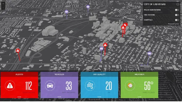
    The age of connected vehicles is fast becoming a reality. While it brings great promise, it also brings new challenges for those seeking to derive insights from the voluminous data each connected vehicle will transmit. Any number of transportation agencies are beginning to grapple with the challenge of monitoring the live streams of data for traffic management, and ultimately for greater safety of their roadways.
  • EVs & smart cities: Tritium keeps things moving
    December 3, 2018
    Electric vehicles are widely expected to play a major role in the smarter, cleaner cities of the future. Paul Sernia explains why – and looks at the place of ultra-rapid chargers as part of a versatile public infrastructure Electric vehicles (EVs) are widely expected to play a major role in the smarter, cleaner cities of the future. With no dirty tailpipe, EVs can help improve the polluted air of inner cities. And when deployed as widely shared assets – through car clubs, ride-sharing services and taxi
  • Ansys and Velodyne team up on AV safety
    May 4, 2021
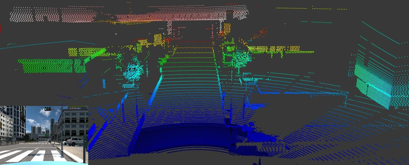
    Lidar sensors will improved hazard identification for highly advanced autonomous vehicles