BMW Group and Mobileye are to collaborate on introducing Mobileye's Road Experience Management (REM) data generation technology in newly-developed BMW Group models entering the market in 2018.
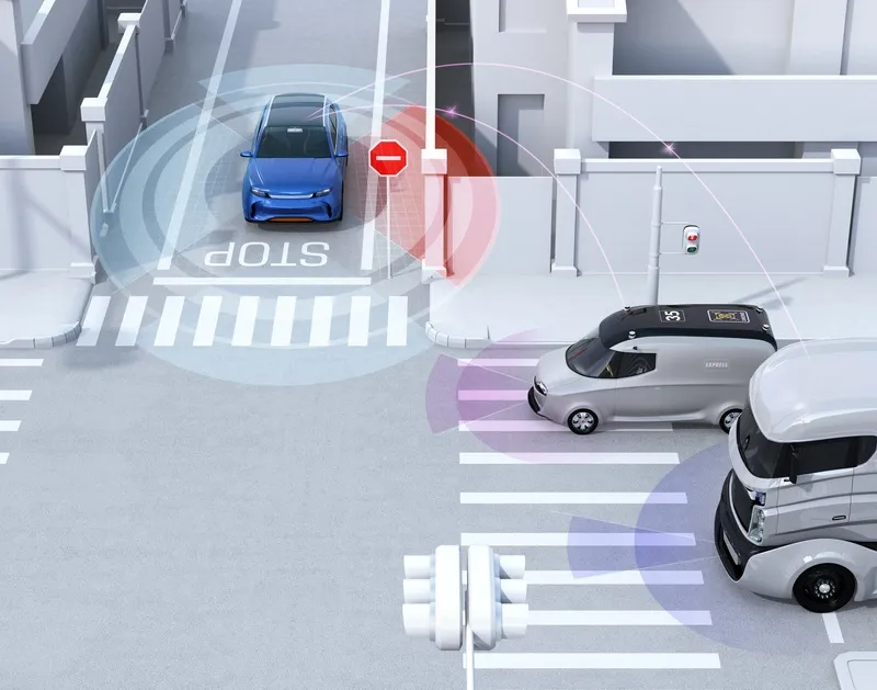
They aim to crowd-source real-time data using vehicles equipped with camera-based advanced driver assist system (ADAS) technology to provide next-generation high definition (HD) maps for autonomous vehicle, which will require them to identify and update changes in the environment with near real-time speed enabling
They aim to crowd-source real-time data using vehicles equipped with camera-based advanced driver assist system (ADAS) technology to provide next-generation high definition (HD) maps for autonomous vehicle, which will require them to identify and update changes in the environment with near real-time speed enabling very short ‘time to reflect reality’.
BMW Group sensor data can be merged with data from different automakers, resulting in a larger scale of data used to create Mobileye's Global RoadBook to support and rapidly update HD maps with highly accurate localisation capabilities.
The cameras that enable to collect anonymised, fleet-wide data utilise Mobileye EyeQ processors and software to identify valuable information that is compressed and sent to the cloud. This data can be used to add a dynamic layer to current and future navigation maps, enabling BMW Group customers to access true real-time information on traffic density, potential road hazards, weather conditions, on-street parking and other information.
To support the rapid creation and updating of HD mapping, the BMW Group and Mobileye will transfer anonymised data to Here. Here will use this data and information to conduct real-time updates of Here HD Live Map, its real-time cloud service for partially, highly and fully automated vehicle, and enhance its Open Location Platform, ensuring an accurate depiction of the real world as it changes.