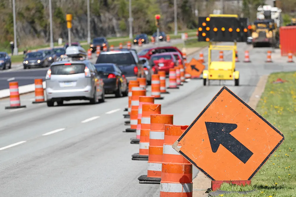
Drivers in Riyadh, Saudi Arabia now benefit from a new mobile application, Delilat Arriyadh, powered with traffic information processed by Gewi’s TIC software. The app, which provides information on workzone locations, will enable the travelling public to make informed decisions, reduce delays and reach their destinations as quickly as possible. The app is expected to reduce the impact of Riyadh Metro-related road construction and road works during the five-year period of the project and beyond.
March 20, 2015
Read time: 2 mins
Drivers in Riyadh, Saudi Arabia now benefit from a new mobile application, Delilat Arriyadh, powered with traffic information processed by 1862 Gewi’s TIC software.
The app, which provides information on workzone locations, will enable the travelling public to make informed decisions, reduce delays and reach their destinations as quickly as possible. The app is expected to reduce the impact of Riyadh Metro-related road construction and road works during the five-year period of the project and beyond.
Provided by the Arriyadh Development Authority (ADA) in Saudi Arabia, the app is one of the initiatives supporting the King Abdulaziz Project for Public Transport in Riyadh.
Traffic operators enter work zone information manually into TIC, which creates OpenLR locations and feeds the data into the Mireo application server and from there it is published to mobile applications.
Project partner1692 TomTom creates the real-time traffic information that is displayed on the smartphone app and used for dynamic rerouting. TomTom also archives the traffic information, providing ADA with Traffic Stats, a web-based tool for querying and analyzing traffic information.
The applications provide full coverage of the Riyadh road network with over 50,000 POIs and live traffic updated every few minutes. The map also includes coloured-coded traffic flow, display of road closures and other related road incidents and Arabic and English voice-guided turn-by-turn navigation with clear spoken instructions, automatic rerouting when missing a turn and much more.
The app, which provides information on workzone locations, will enable the travelling public to make informed decisions, reduce delays and reach their destinations as quickly as possible. The app is expected to reduce the impact of Riyadh Metro-related road construction and road works during the five-year period of the project and beyond.
Provided by the Arriyadh Development Authority (ADA) in Saudi Arabia, the app is one of the initiatives supporting the King Abdulaziz Project for Public Transport in Riyadh.
Traffic operators enter work zone information manually into TIC, which creates OpenLR locations and feeds the data into the Mireo application server and from there it is published to mobile applications.
Project partner
The applications provide full coverage of the Riyadh road network with over 50,000 POIs and live traffic updated every few minutes. The map also includes coloured-coded traffic flow, display of road closures and other related road incidents and Arabic and English voice-guided turn-by-turn navigation with clear spoken instructions, automatic rerouting when missing a turn and much more.


