US-based connected car services supplier,
The Inrix XD Traffic app provides drivers with up-to-the-minute insight into traffic speeds and travel times for every major road type and class from highways, ramps, and interchanges to arterials, city streets, and other secondary roads worldwide. The app helps drivers know the fastest route, best departure time, and expected arrival time in traffic to any destination. The app also alerts drivers to accidents, construction, road closures, and other traffic-causing delays to expect along the way.
“Through the connected car, we have a unique opportunity to provide every driver on every street with up-to-the-minute insight into what’s happening on the road ahead,” said Jon Maron, vice president of Marketing and Mobile, Inrix. ”Getting real-time insight to every driver is critical if we’re to address the individual, economic, and environmental costs of congestion. Through the integration of our Inrix XD Traffic app into Airbiquity’s Choreo platform, we look forward to extending the benefits of our real-time traffic information to more drivers.”
Parkopedia provides detailed information on over 30 million parking spaces in 45 countries, including parking lots, street parking, and private driveways accessed through online, SMS, mobile apps, in-car satellite, and navigational devices. In addition to providing extensive static information about parking lots, Parkopedia also provides real-time space availability information where available.
“By taking advantage of Parkopedia's real-time space availability information drivers can go directly to an open parking spot instead of spending time circling the block searching,” said Eugene Tsyrklevich, CEO of Parkopedia. “In the era of the connected car, it is encouraging to see Airbiquity recognizes the importance and relevance of this type of information, and values its inclusion in their Driver Experience offering and content portfolio."
Airbiquity’s Choreo connected car services delivery platform serves over four million vehicles around the world and supports hundreds of millions of vehicle transactions per month for leading automotive OEMs.
“Real-time access to traffic and parking information is essential to providing our automotive OEM customers and their drivers with an intelligent and informed connected car driving experience,” said David Jumpa, chief revenue officer of Airbiquity. “Both Inrix and Parkopedia are recognised leaders in their categories, and their integration into Choreo further increases the breadth, depth, and relevance of our infotainment content portfolio.”
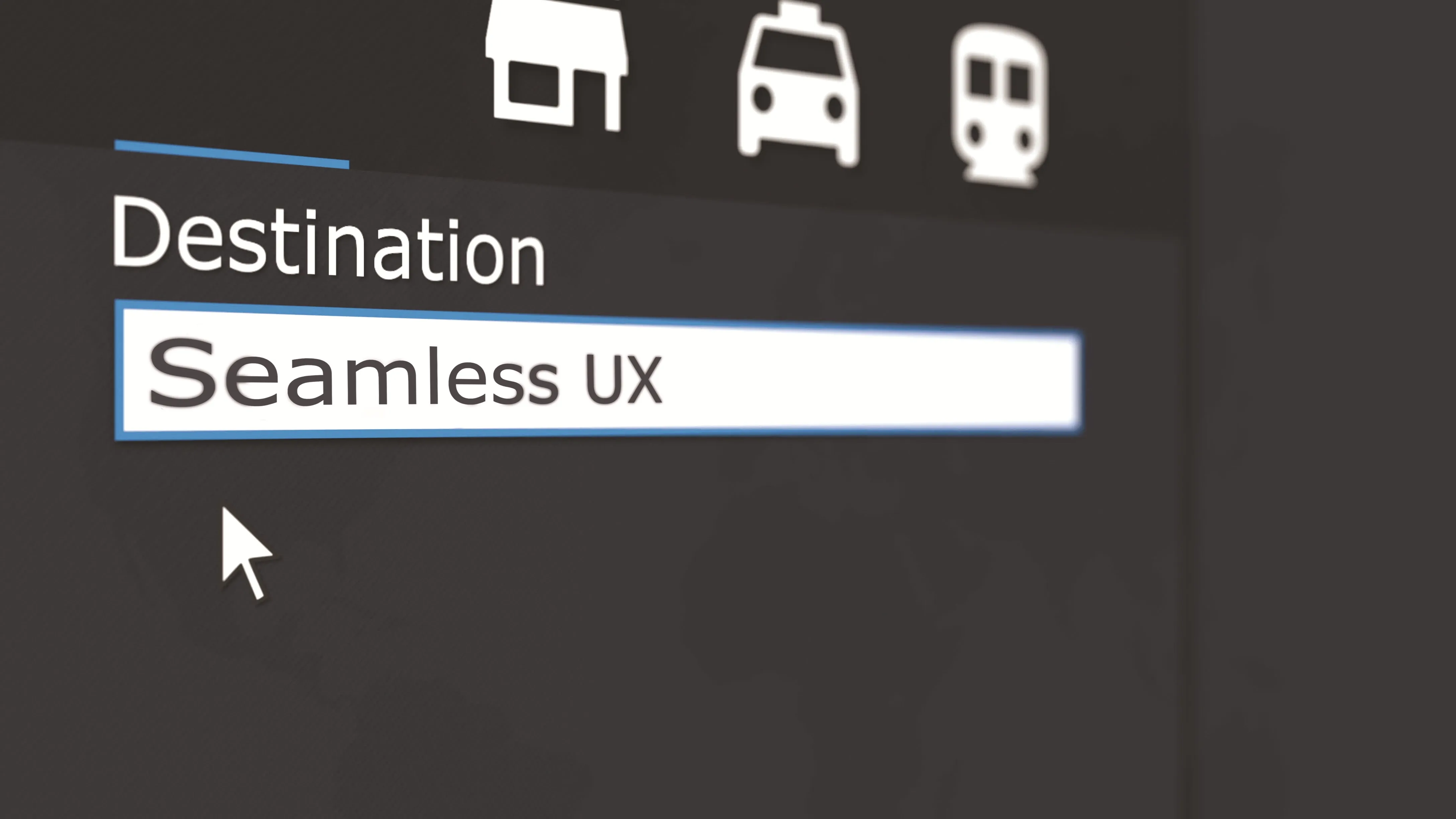
Airbiquity adds Inrix and Parkopedia to its connected car content
US-based connected car services supplier, Airbiquity is to integrate two industry-leading geo-aware content providers into its Choreo connected car services delivery platform, making Inrix’s traffic information and driver services and the parking information services of Parkopedia available to Airbiquity’s automotive OEM customers deploying the its Driver Experience infotainment service. Leveraging the Airbiquity content portfolio, automotive OEMs can now easily configure both INRIX traffic and Parkopedia p