The Virginia Automated Corridors, a new initiative that its developers claim will revolutionise the development and deployment of automated vehicles, has been unveiled on more than 70 miles of interstates and arterial roads in the Northern Virginia region.
The Corridors were established by the Virginia Tech Transportation Institute in partnership with the Virginia Department of Transportation; the Virginia Department of Motor Vehicles; Transurban; and Here, Nokia’s mapping business in support of the tran
June 3, 2015
Read time: 2 mins
The Virginia Automated Corridors, a new initiative that its developers claim will revolutionise the development and deployment of automated vehicles, has been unveiled on more than 70 miles of interstates and arterial roads in the Northern Virginia region.
The Corridors were established by the5593 Virginia Tech Transportation Institute in partnership with the 1747 Virginia Department of Transportation; the Virginia Department of Motor Vehicles; 600 Transurban; and 7643 Here, 183 Nokia’s mapping business in support of the transportation institute’s automated vehicle research.
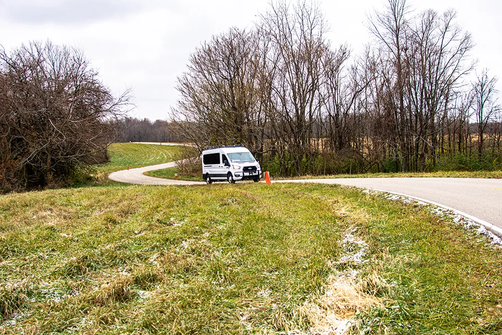
The corridors include Interstates 66, 495, and 95, as well as state routes 29 and 50, roads which compose one of the most congested corridors in the US, with multiple transportation challenges that could be mitigated through the use of automation, including congestion. The corridors also include two test-track environments: the Virginia Smart Road, located on-site at the Virginia Tech Transportation Institute; and the Virginia International Raceway.
The Virginia Automated Corridors integrate a range of resources, including access to dedicated high-occupancy toll lanes managed by Transurban along Interstates 495 and 95; high-definition mapping capabilities, real-time traffic and incidents, intelligent routing, and location cloud technology supported by Here, which has worked with major automakers on previous automated-vehicle projects; pavement markings maintained by the Virginia Department of Transportation for completeness and retro-reflectivity; accurate localisation via high-precision global navigation satellite systems; connected-vehicle capabilities enabled by dedicated short-range communications and cellular technology; access to sophisticated, unobtrusive data acquisition systems; and operations at higher speeds along a test track that features complex curves.
The corridors will help facilitate the use of state roads and test facilities for automated-vehicle testing, certification, and migration towards deployment.
“Next-generation vehicle technologies can help transform our transportation system, from enhancing safety to supporting driver convenience,” said Tom Dingus, director of the Virginia Tech Transportation Institute. “Our goal with the Virginia Automated Corridors is to ensure automated-vehicle developers and suppliers have access to both a robust roadway environment and significant research support to create, test, and deploy systems that are beneficial to users.”
The Corridors were established by the
The corridors include Interstates 66, 495, and 95, as well as state routes 29 and 50, roads which compose one of the most congested corridors in the US, with multiple transportation challenges that could be mitigated through the use of automation, including congestion. The corridors also include two test-track environments: the Virginia Smart Road, located on-site at the Virginia Tech Transportation Institute; and the Virginia International Raceway.
The Virginia Automated Corridors integrate a range of resources, including access to dedicated high-occupancy toll lanes managed by Transurban along Interstates 495 and 95; high-definition mapping capabilities, real-time traffic and incidents, intelligent routing, and location cloud technology supported by Here, which has worked with major automakers on previous automated-vehicle projects; pavement markings maintained by the Virginia Department of Transportation for completeness and retro-reflectivity; accurate localisation via high-precision global navigation satellite systems; connected-vehicle capabilities enabled by dedicated short-range communications and cellular technology; access to sophisticated, unobtrusive data acquisition systems; and operations at higher speeds along a test track that features complex curves.
The corridors will help facilitate the use of state roads and test facilities for automated-vehicle testing, certification, and migration towards deployment.
“Next-generation vehicle technologies can help transform our transportation system, from enhancing safety to supporting driver convenience,” said Tom Dingus, director of the Virginia Tech Transportation Institute. “Our goal with the Virginia Automated Corridors is to ensure automated-vehicle developers and suppliers have access to both a robust roadway environment and significant research support to create, test, and deploy systems that are beneficial to users.”


